Wednesday, 18 June 2014

Around Barbican again

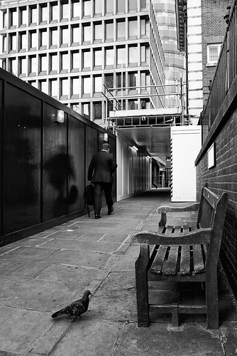
This week I managed to get out a a few times after work, mostly around Barbican, of which this and another post will be focused on.

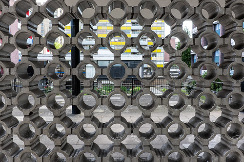
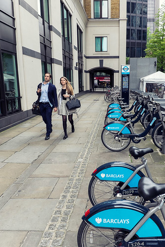
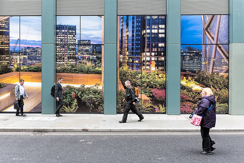
First up is Silk Street which is on the edge of the Barbican Centre. I couldn't choose between a few photos so post them all.


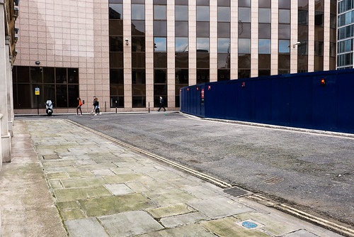
Just off Silk Street, opposite the roundabout in the above pictures is Milton Street.
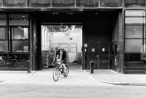

At the end of Silk Street is Beech Street, where there is a road tunnel leading towards Barbican Tube.
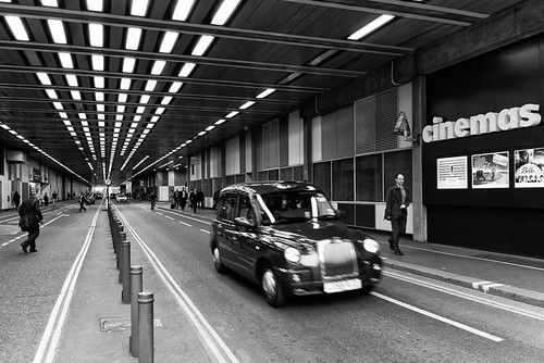

To the north of Beech Street there are a few streets I missed out when in this area previously. About halfway through the tunnel on the right is Bridgewater Street, of which there wasn't much of interest to photograph. In fact the same could be said about the next few streets.
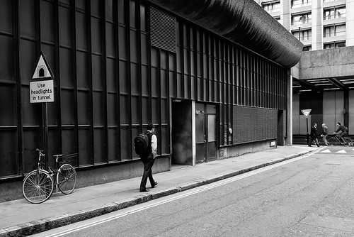

At the end of this street is Bridgewater Square, which was just as challenging, and I didn't come away with much of a picture.
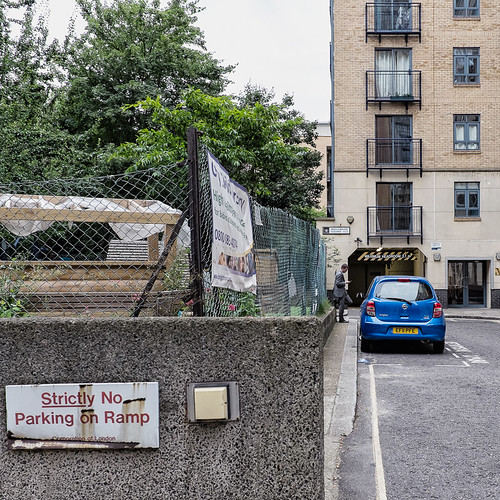


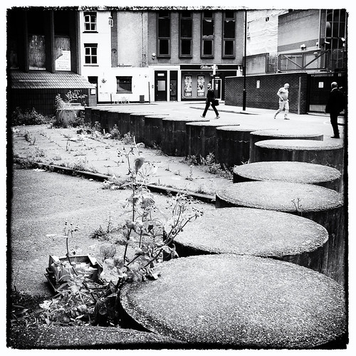
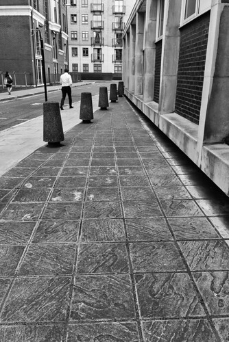
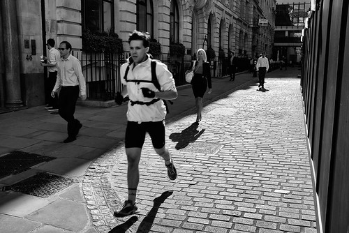
Sometimes at first glance a street doesn't look to have much photographic opportunity but there is often something that can be turned your advantage. The following picture of Brackley Street is a case in point, where I made good use out of the concrete bollards and textured paving tiles. If I didn't have the scale of this project on my mind, then I would slow down and come away with better pictures in some of the more challenging streets,


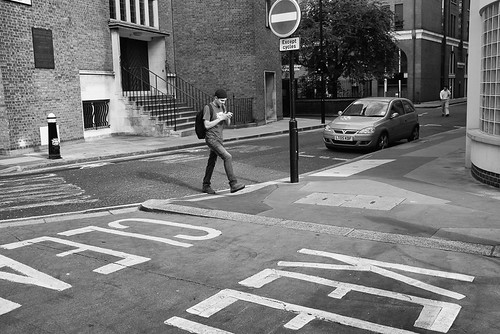
Viscount Street, despite its grand name, was also not the most interesting of streets. A lady stopped me as I was photographing here to enquire what I was taking a picture of. She couldn't understand what I might find interesting enough about the street to photograph it, pointing out that the ex-YMCA building around around the corner was much more interesting.  I had a nice chat with her, so if she finds this blog, the picture didn't turn out too badly did it?

Saturday, 14 June 2014

A short One

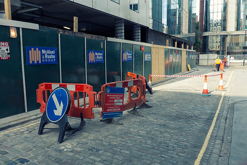
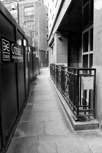
A Very short entry, with yet more streets around Bishopsgate (only one or two left). First up is Broad Street Avenue, which doesn't look like much of an Avenue, certainly at present; the building work that can be seen is due to the Crossrail development, and which when completed will enable me to get straight into the City without having to get off a train and onto a tube at Paddington.


Next up is New Broad Street, which connects Old Broad Street to Bloomfield Street.


This leaves only one Street left off Broad Street left to photograph; Great Winchester Street. Great Winchester Street is almost opposite my work and I must have walked past it a hundred times since I started this project, but only down it a couple of times. On it is a goods entrance to Deutsche bank, and there are always three or four intimidating looking security guards. One one occasion I asked if I could photograph one of the guards, who politely refused, and I haven't managed to photograph it since. I guess I can photograph it any time, since it is so close, but I must try and do so soon.

Last up on this entry is Great St. Helen's, and not a very good photograph.St. Helen's church dates from the 12th Century and is the largest surviving church in the City. I dont feel like I have done it justice in this picture.


Wednesday, 11 June 2014

Aldgate to Tower Hill

This week I extended my coverage of the east of the City, down to Tower Hill, and covered most of the streets on/near that border, on two separate evenings.
Starting off at Aldgate, which is a surprisingly short stretch of road, sandwiched between Fenchurch Street and Aldgate High Street - there isn't much to say about this picture.


On the south side of Aldgate High Street there are two roads that arc similarly but in opposite directions, One is Little Somerset Street which leads to Mansell street which is a bit dilapidated looking.


The other leads onto Minories, and has only a bus station/depot. It has no visible name,isn't named on Google maps and isn't even on Bing Maps. I therefore chose not to photograph it. Minories and Mansell Street run parallel to each other and both lead down towards Tower Hill, with several street joining them. The next picture is of Mansell Street, taken under a railway bridge carrying trains to/from Fenchurch Street Station.


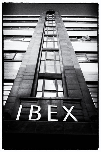
Next up is Minories, where there is a rather nice 1930's Art Deco building, "Ibex House". Legend has it that Hitler wanted Ibex House to be his command Centre after an invasion.

At the north (Aldgate High Street) end of Minories is a tiny alley called Golden Fleece Court, that isn't on Google Maps, and which I nearly missed. It doesn't go very far and the picture below shows about all there is to see, which isn't. 


A bit further down Minories is India Street, where I struggled to get an interesting photo.


Just off of India Street is Vine Street. Here I was taken in by the numerous signs on this building as well as the mess caused by what I assume is the condensate pipe from a boiler.


St Clare Street is another street off Minories and another one that I struggled with, and probably the reason why I left a couple more of the street off Minories for another day.


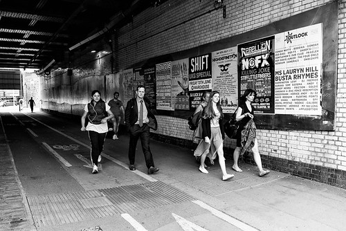
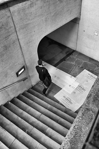
I did manage to get decent shots on the last two streets connecting Minories to Mansell Street, in my opinion anyway. The first is a subway going under Goodman's Yard.


Second up is Shorter Street, and this picture is actually the wall of Minories Car Park.


The last picture of this blog entry is also my favourite, taken on Tower Hill. Only a very short section of Tower Hill, perhaps 30 metres, is within the boundary of the City, and this is possibly one of the most unusual photos probably taken of Tower Hill, especially given the millions of tourists that walk along here each year. One of the things I try to do in this project though, is not to take the obvious picture.


Sunday, 8 June 2014

North of Barbican

I may have touched on this before, but I don't want to leave the areas furthest away from work, till last; when  winter is upon us and the nights are much much shorter. Thus I will be trying to spread out a bit further over the next few weeks, perhaps covering some of the border of the city from Barbican west to Chancery Lane and then down to Temple.

This week I spent some time (mostly) north of Barbican, a little bit of the City that juts out north. I missed a few streets but made good progress, and took a few shots that I am really happy with. I started off at Chiswell Street, only about half of which is in the City, and the half that is, is on the border. It was a lovely evening and the sun was casting some fantastic shadows.


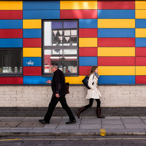
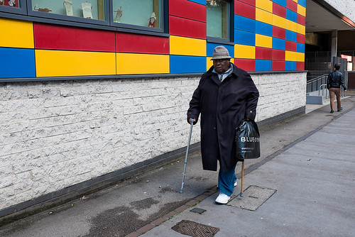
I then turned right onto Whitecross Street, where I cheated, just a tiny bit. Only the first 50 metres or so of the street are in the City before the boundary turns left and my picture is probably about 20 metres outside the boundary. The very colourful building is the Golden Lane Campus, where three relocated schools reside - Prior Weston Primary School, Fortune Park Surestart Children’s, and the Richard Cloudesley School for children with physical disabilities.


I then went to Golden Lane, where I took two shots. The first is of the other side Golden Lane Campus and the second is taken further down the street, of Stanley Cohen House, part of the Golden Lane estate.


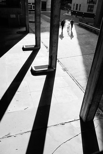
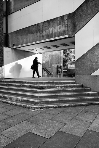
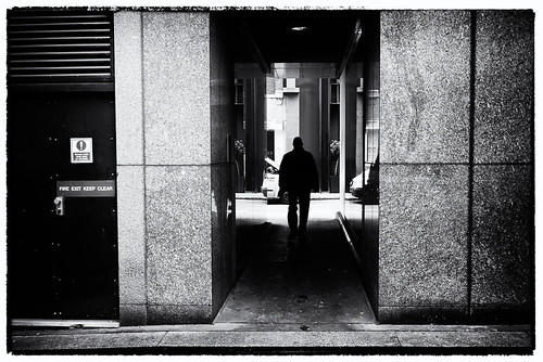
Just off Golden Lane is Cripplegate Street which; Its very easy to miss the street, looking from Golden Lane, and it is not on Google Maps either.  But I'm glad I did spot it as I got my shot of the day. I was immediately drawn to shadows cast by the pillers, and got a nice composition but really wanted someone to walk into the shot. The street was so quite I didn't think I would have much luck, but thankfully I only had a couple of minutes to wait.


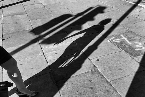
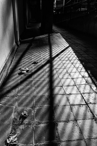
Going further up Golden Lane I followed the city boundary onto Baltic Street West, where I took another shot with great shadows, outside somebody's front door at Hatfield House.


I then turned onto Goswell Road and took this shot beneath Crescent House.


Fann Street connect Goswell Road with Golden Lane, though half-way down the road is blocked off to traffic. At the corner with Goswell Road is the Barbican YMCA. The YMCA was due to be closed in 2012, but I am not sure if it was, it certainly still seems to be on the YMCA website, and there seems to have been a lot of negative feelings about the proposed closure. However, the sign does appear to have been taken down.


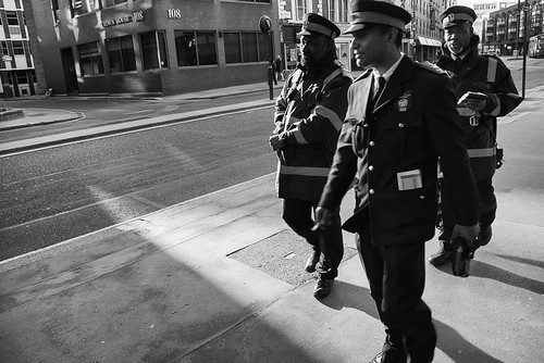
Closer to Barbican tube station, Goswell Road turns into Aldersgate Street, where I snapped these three traffic wardens.


I then followed the City boundary onto Carthusian Street, which then quickly turns into Charterhouse Square and then Charterhouse Street; only the first two of which I photographed.


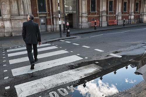
My final shot of the day was taken on Lindsey Street, where I was attracted by the reflection of the sky in puddle. The building in the picture is the side of the famous Smithfield Market.


Saturday, 7 June 2014

More from Bishopsgate to Aldgate

There are still a handful of streets between Bishopspgate and Aldgate to shoot, but I have now have nearly of them. The following shots were taken one evening after work on the way to Aldgate tube station. First up this is week is Outwich Street, and this picture is taken from the back of the Heron Tower, or a as it now (a little controversially ) called the 'Salesforce Tower London' after its biggest tenant, Salesforce.com.


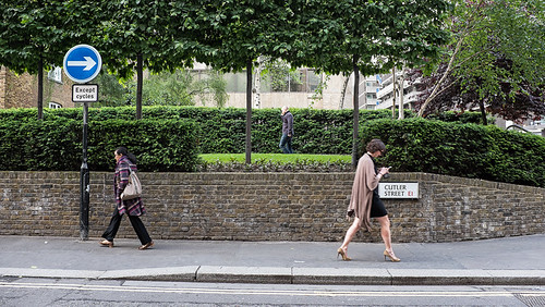
Next up is Cutler Street, which joins up with Devonshire Square. This shot is similar to my previous shot of Devonshire Square, except that it is taken further down the road and on the other side of the bushes/trees.


 Just off Cutler Street and almost behind the camera position in the above picture is Clothier Street. There is not much here, its a short road that just leads to the back of some offices and shops. This shot shows a small alley leading back onto Cutler Street.


Close by, connecting Houndsditch to Beavis Marks, is Goring Street, a small street containing nothing but rather bland office buildings.


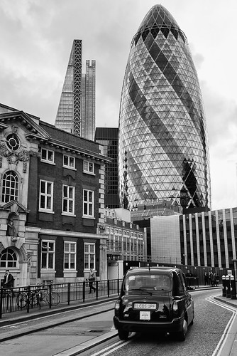
Continuing up Beavis Marks, the road turns into Dukes Place. Here I managed to get a shot containing both the Gherkin and the "Cheese Grater".


Whilst here, I noticed a little alley not on Google Maps (ahead and to the left of the taxi). On closer inspection I found it to be St. James Passage. This passage leads to Mitre Square which I had photographed before, but not noticed the passage (possibly as it was not on the map). I have found quite a few little streets and alleys that are not on Google Maps, and sometimes also consult Bing Maps, which also has some inaccuracies or missing streets, but not always the same ones as Google Maps.


Thursday, 5 June 2014

100 not out

I finished off the week and the month by making it to 100 streets photographed. I started from Aldgate tube station one morning, with time to spare before going to work. First stop was St. Botolph Street, where St. Botolph's Church is located - one of the four medieval London churches dedicated to the saint. This is not a picture of the church, rather the exit of an unnamed alley that run to Aldgate High Street.


Heading towards work, the next stop was Stoney Lane, to take a rather bad photograph, which has not been saved by the conversion to black and white.


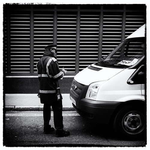
Stoney Lane leads from Houndsditch to White Kennett Street, where I came across a traffic warden about to give someone a ticket.

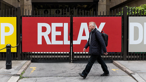
Next up, and round the corner is Harrow Place, where I saw this great sign.


Last stop before work was Houndsditch and I was immediately drawn to this scene. This used to be a Starbucks and its almost nice to see one has closed down, for some reason.


The same evening I managed a few more shots, filling in more of this area between Bishopsgate and Aldgate.  Undershaft is just off St. Mary Axe and the Gherkin can be clearly seen in the background. The building on the left is where I worked when first in the City back in 1998. I remember watching progress of the Gherkin being built. day by day, and remember the whole office gently vibrating constantly when they were digging the foundations.


To the right of the Gherkin is a small Alley/Lane called Brown's Buildings, a small section of which is covered by a  building overhead; its not clear if Brown's Buildings refers to just the covered bit or the whole lane/alley.


There are two straight streets that are parallel and very close to each other, running from Bishopsgate to Aldgate High Street. One is Houndsditch. The other starts off as Camomile Street (see previous blog entry) before turning into Beavis Marks and then finally into Dukes Place. The following picture is of Beavis Marks, which is probably most known for its synagogue, which is the oldest in Britain. Photographing that would be obvious though, wouldn't it?
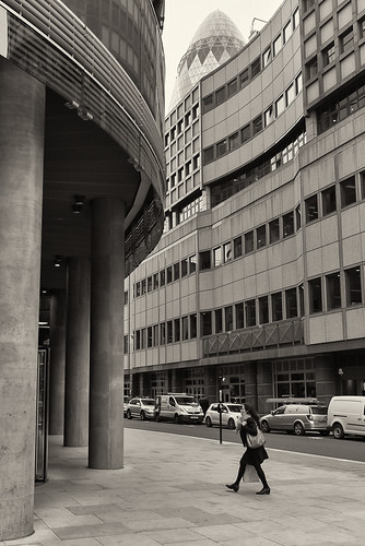

My last shot of the month is of Creechurch Place. I had photographed Creechurch Lane before, not realising (thanks to Google maps) that as it goes round a bend, the road changes name. That is one thing I have to look out for, as well as many smaller streets and alleys that are not on Google Maps at all. Anyway the month was finished off with a rather poor effort, but there really wasn't much to photograph.


Finally to finish with, the updated maps showing my progress.