Sunday, 3 May 2015

More half days - Part 2

My last post was some time ago, as I have been extremely busy with work and other stuff. But this is a continuation from my last post, where I took a half days vacation.

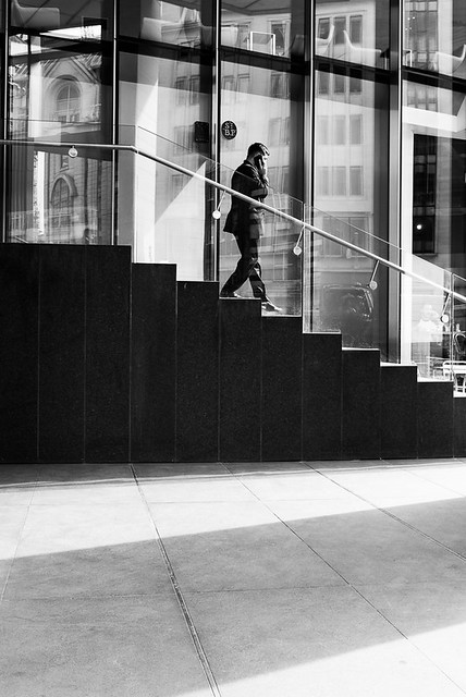
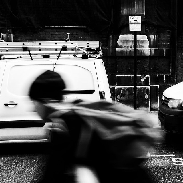
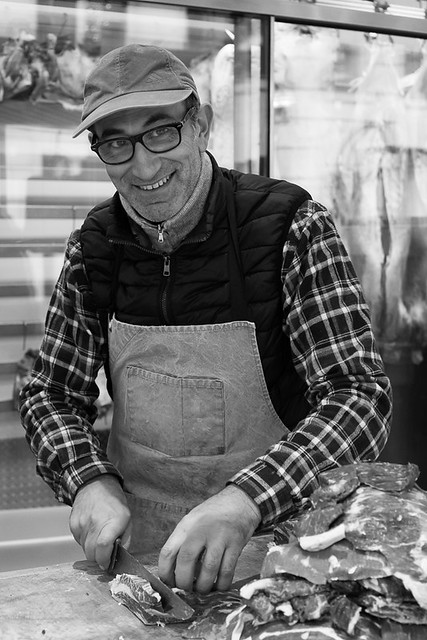
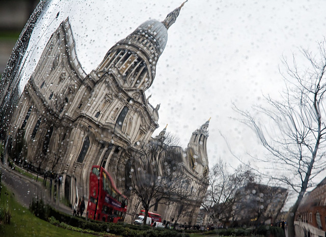
The first image below was taken on Ludgate Hill and was of a gentleman who had been attending the Afghanistan remembrance service at St. Paul's Cathedral.


The following shot was also taken at Ludgate Hill.


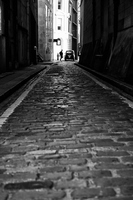
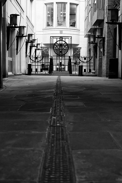
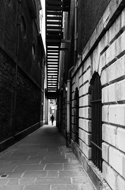
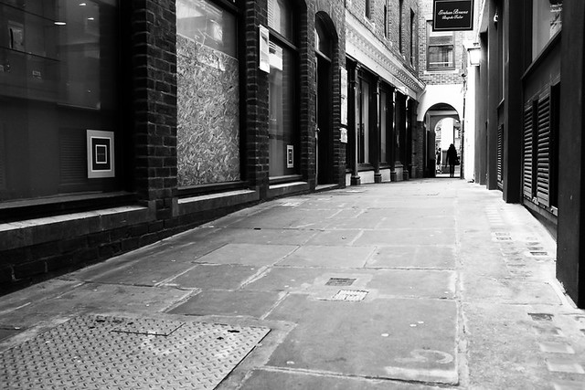
Walking down New Bridge Street from I then stopped at Pilgrim Street


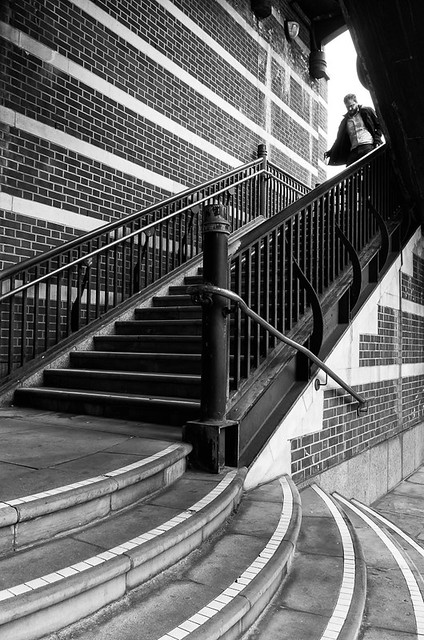
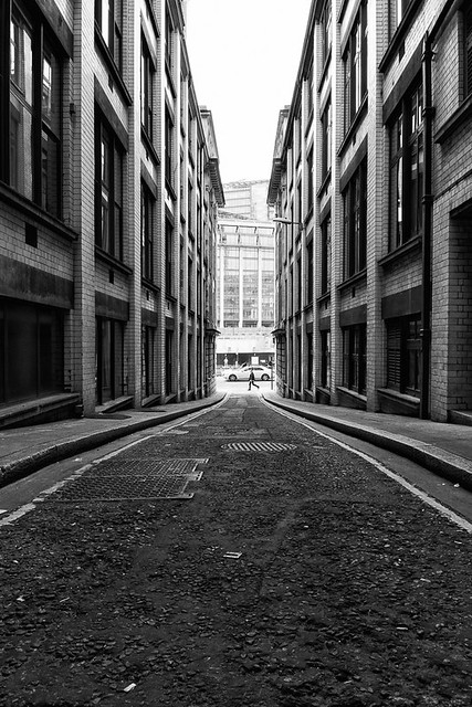
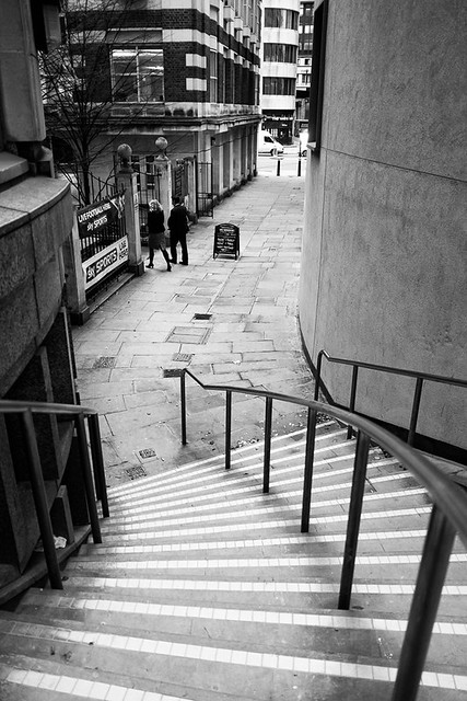
Continuing down New Bridge Street, I came to another raised street with steps leading up to it - Apothecary Street.


On the other side of New Bridge Street from here is Bridewell place.


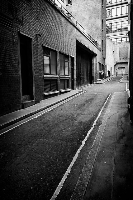
And the last shot of the day was taken on Watergate, again just off New Bridge Street.


Thursday, 2 April 2015

More half days - Part 1

I had a few days of holiday carried over from last year which I had to use up by the end of March so took a couple of half days vacation in the afternoon to take photographs of the city. 

This post will focus on one of those half days, but first of there are a few shots from a late lunchtime walk. The first shot is from Bread Street, which is fairly close to St. Paul's and runs from Cheapside down to Queen Victoria Street. Bread St is the principal street of the Bread Street ward and the name originates from it being the main market place for selling bread in days gone by.


At the western end of Cheapside is New Change, which borders the edge of St. Paul's cathedral. The following shot was taken right on the corner with Cheapside.


The final image from this brief walk was taken on Paternoster Square.


On my two half days off I wanted to concentrate on the areas furthest away from my office that were still to be photographed - the streets on the east side of Farringdon Street from Holburn Viaduct all the way down to Blackfriars Bridge.

My starting street was the interestingly named Turnagain lane. The name apparently comes from the fact that the street did (but no longer) lead to the Fleet Rive. Bit since there was no bridge to cross, if you wished to cross, then you had to turn back round. Less interesting were the photographic opportunities and I came away with a rather disappointing image.


The next street on the east side of Farringdon Street (heading South) is Newcastle Close.


Next up was Bear Alley, a dreary looking dead end of a street. The name would seem to come from the the Bear Inn once located here and the one popular sport of bear bating.


I then came to another dreary looking dead end, Old Fleet Lane. Leading from the lane at the side of an office block where some steps that are the start of Fleet Place. It could be questioned which street this image counts towards since the steps of Fleet Place could be considered as the main subject matter, but the image was taken whilst standing on Old Fleet Lane and the foreground is also on the lane. However it's my project and my rules.


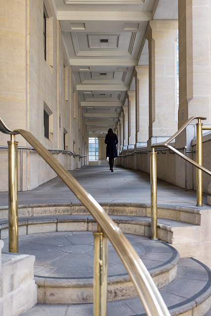
The steps are definitely part of Fleet Place and the following image was taken from the bottom of the steps looking up. It was quite a busy passage and I had to wait about 10-15 minutes to get the shot I was looking for.


 Next was Old Seacoal Lane, a challenging place to get a decent picture.and I don't like this particular image. The street gets its name from the time when barges transporting coal from the Thames and along the river Fleet would unload here. Oliver Golsmith the novelist, playwright and poet once resided here.


The road leads round to Limeburner Lane, which was only constructed in the 1990's. 


At the end of this lane and parallel to it is St. George's Court, whose existence seems only to serve an underground car park.


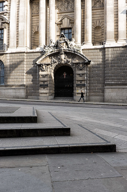
At the same end of the lane is Old Bailey, the location of the Central Criminal Court of England and Wales. The original medeival court stood from at least 1585. It was destroyed in the Great Fire of London and rebuilt in 1674, with several re-buildings since. The image below shows the main entrance to the courts.


Close by at the top end of Old Bailey are  Bishop's Court and Green Arbour Court. I covered a couple of more streets on this day but will leave those for the next post.


Friday, 27 March 2015

Upping the pace again

After getting back into the swing of things, I decided to up the pace a bit. I'm hoping that I will be able to finish by the end of April or early May.

I have a few pockets of areas where I have a few remaining streets to shoot. One of these is behind Barbican, around St. Bart's hospital, and I tried to complete to this area one morning before work.

The first street I shot was Bartholomew Close which is a  longish U shaped road. I had been around here a couple of times and was not really inspired. On this occasion I managed a couple of shots. The first is just a bike rack and a puddle which really doesn't sound very exciting, but I'm really pleased with this shot. I think it is a good example of how my eye for detail has improved over the course of this project and I think this is partly down to having to take a picture of every single street - finding something worthy of raising the camera is not always easy. I don't always get a good image or one that I am overly happy with, but I think doing that on every street is nigh on impossible.

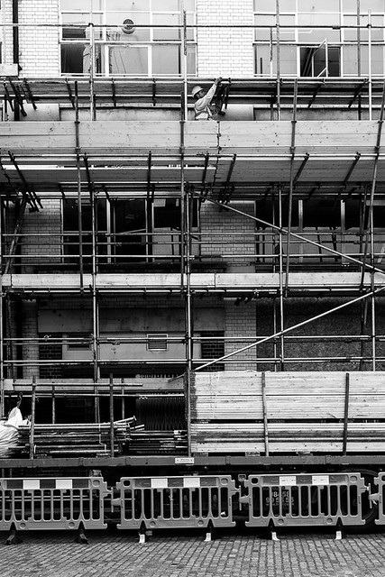


An example of where my eye for detail was not quite so good was just around the corner on Halfmoon Court. There was not a lot to shoot here, but I decided to take the image below of some signs outside a car park. I think the main thing that intrigued me here was the sign saying "Dry Falling main car park" which sounds a bit ominous and like it may not be a great place to stand. I had no idea what it meant, but couldn't help looking upwards. On googling the term now I think it may have something to do with fire protection equipment.


One other street I had previously missed out is Smithfield Street, which as the name suggests, is close to Smithfield market.


That was all of  I manged to shoot on that particular morning. There are two streets left to photograph in that area, both of which are partly closed off due to construction work and which I have so far struggled for inspiration.

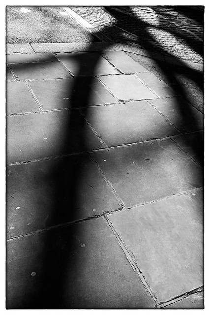
A couple of days later I wandered around the Cannon Street Area for a bit. The are a couple of  streets here named after a Laurence Pountney,  presumably they are named after the St. Laurence Pountney church. This church is no longer, and was destroyed during the great fire of London. However an eye witness claims that the church fire started from with inside, implying arson. Laurence Pountney Lane is one of the couple of street I photographed on this day, where I shot some shadows from a tree.


From here a little alley leads to Laurence Pountney Hill (still to photograph) and Suffolk Lane. The shot below was taken at the side of Prudential's headquarters. The footpath leads to a bridge that crosses Upper Thames Street.


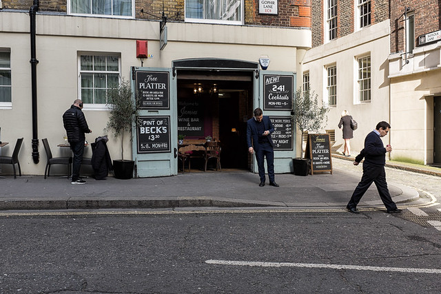
Also close by is Gophir Lane.


On the other side of Cannon Street Station is Dowgate Hill, named after the Dowgate Ward of the city.


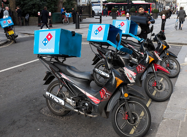
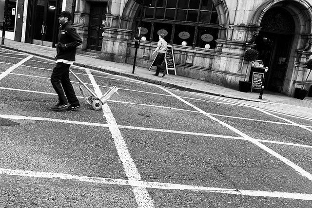
A bit further along Cannon Street, I came to Queen Street which I had already photographed previously. The image below is not particularly good, but I liked the fact that the Dominos delivery motorbikes where all in a line leaning over, a bit like dominoes.


Walking back down Dowgate Hill, and crossing Upper Thames Street, leads onto Cousin Lane.


I then headed back up the hill a little and turned onto College Street.


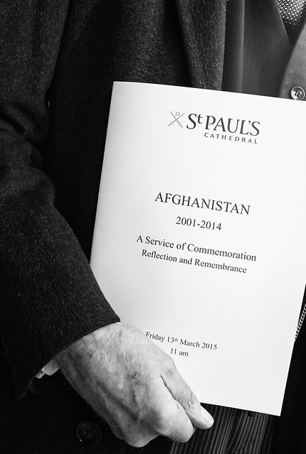
College Street then turns into Skinners Lane, where I took my favorite image of the day.


On my way back to the office I took a minor detour to Cheapside to photograph Crown Court. This was a little courtyard that I had previously missed and only noticed when filling in my map.
Thursday, 5 March 2015

Back on the horse again

After almost a month of pottering around the house and working from home, it was good to get out and about with my camera. It was also good to walk around an area that was new to me, or new to this project anyway -  a triangular area between Queen Victoria Street, Cheapside and St. Paul's Cathedral.

I will start off with my favorite image from this day, which was of a very friendly butcher at Jamie Oliver's Barbecoa restaurant on Watling Street, a stones throw from the cathedral. Watling Street is was an ancient trackway that ran from Canterbury to St. Albans and later extended to Wroxeter by the Romans. More details are at wikipedia.


I had actually started off this little outing on St. Stephens Row, which is behind Mansion House and just outside the area described above.


I then made my way onto Queen Victoria Street and to the rather challenging Sise Lane, which is not much longer than what you can see in the picture below. I think this image falls into "best of a bad job" category,

Round the corner from here is Pancras Lane. The following image is from the site of the former St. Pancras church which was destroyed in the Great Fire of London. Its now a lovely little garden of which more detail can be found at the website its creators Studio Weave.


Next up was Well Court, which owes its name to seven watering holes sunk there during Roman Times. Excavation of this alley has led the discovery of many roman building remains and artifacts.


Walking through the arch at the end of Well Court, leads to Bow Lane, named after the St, Mary-le-Bow church on Cheapside.


Just off of Bow Lane Bow Churchyard, which surrounds St. Mary-le-Bow church. Im quite pleased with the image below, even if I do say so myself.


My final image of the this outing was back on Queen Victoria Street.


I  had quite a bit of holiday left over from last year, so took a day off to do some photography. However the weather was awful. I did manage to get a few good shots, but most were on the south side of the Thames and therefore not in the city and not part of this project. The only shot within the city that I managed to get was on Carter Lane.


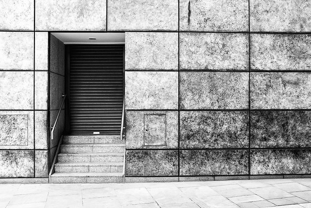
And that is all I managed to take in February, so below is the updated map.


Friday, 6 February 2015

Up to date finally

This week I went out with my camera for the first time in over a month, as I have not been out and about much whilst I get over the chest infection I had. Since I now need to start editing and blogging again, I thought I better get up to date. So this post is the last of the images from last year, taken in the area between Holborn and Fleet Street. Since it was a while ago now, I may not have much to comment about.

First up is Harp Alley, which runs between St. Bride Street and Farringdon.


Continuing down St. Bride's street, there is a fork to the right called Poppin's Court.


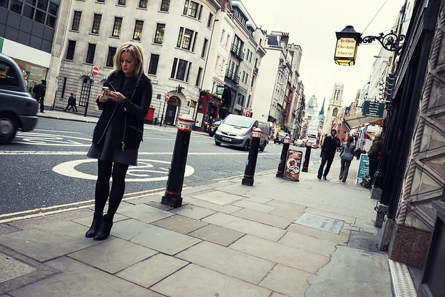
Now we are onto Fleet Street and the following image, from next to Ye Old Cheshire Cheese, was taken from the hip.


To the side of the pub is Cheshire Court, where the following picture was taken.
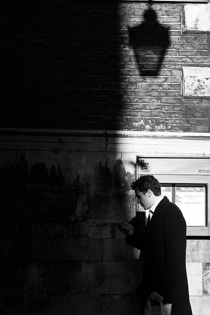

There are quite a few little alleys off  Fleet Street, many of which I have covered in previous posts, but a few more follow below, which I will simply name.

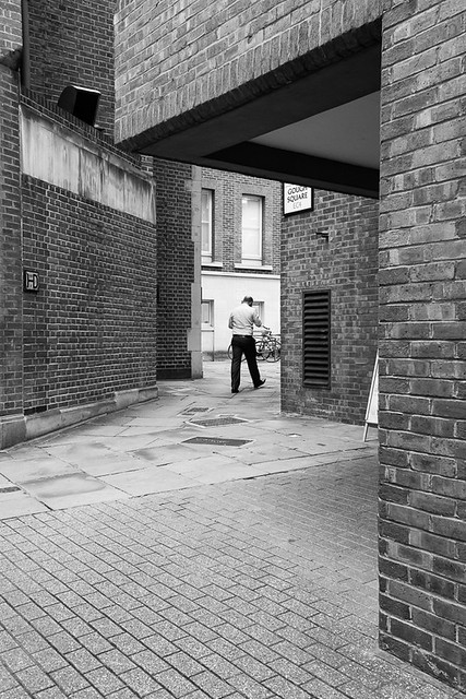
Gough Square


Hind Court


Bolt Court


St. Dunstans Court


Heading back north away from Fleet Street now. Next up is Pemberton Row which is just off New Fetter Lane.


Nevill Lane is also off of New Fetter Lane and leads to what appears to be a fairly new and shiny office and retail space at New Street Square.


Continuing up New Fetter Lane is Rolls Buildings.

And finally my last shot of the day, was of Plumtree Court,