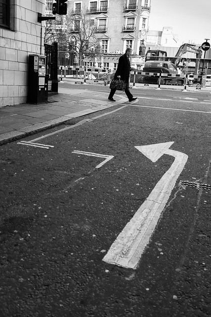
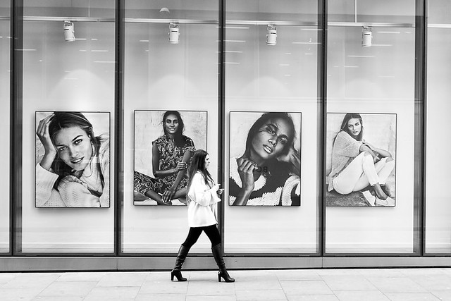
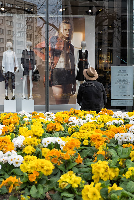
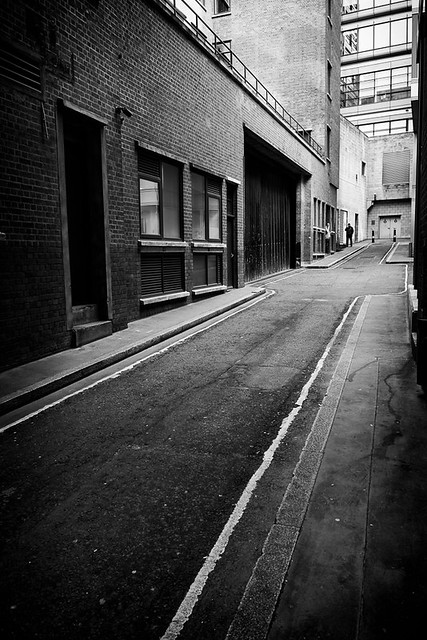
Monday, 29 June 2015

Around St. Paul's Part One

Of all Sir Christopher Wren's churches. St. Paul's Cathedral is the most famous, and one of the most famous in the world. No one needs me a photo from me to know what it looks like, so I haven't taken one. But I do have images of all the surrounding streets.

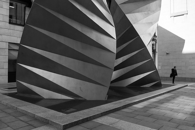
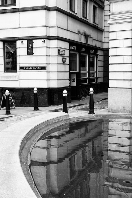
The following two images are on an unmarked lane/street just off Paternoster square, so I assume it to be part of the square. Having photographed the square a couple of months ago I could have simply moved onto the next street, but you can see why I didn't. The two sculptures are actually air conditioning cooling vents, and amazing ones at that.


And then I took another image of the sculpture from Amen Corner.
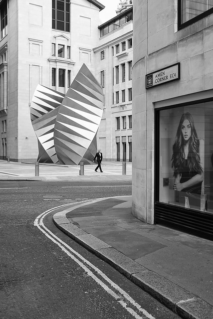

The road going from left to Right in the above picture is Ave Maria Lane, of which there is not too much to talk about, other than the sculptures.
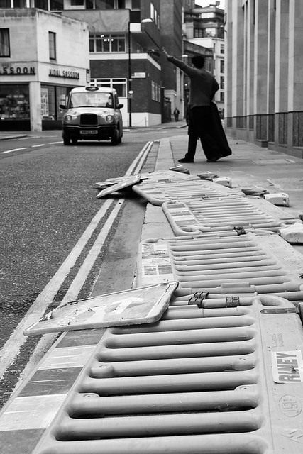

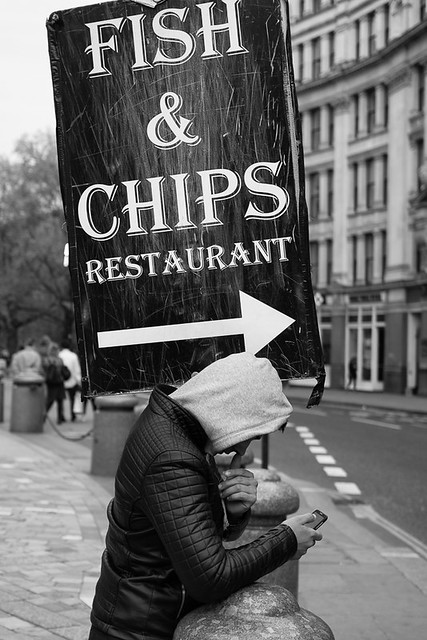
At this southern end of the lane is Ludgate Hill to the West and St. Paul's Churchyard to the east, which goes straight past the main entrance to the Cathedral. Of course the obvious thing to do here was to photograph someone holding up a big advertising board for a fish and chip restaurant. I have no idea what the fish and chips are like, but just follow the arrow to the right and you will find the restaurant on Carter Lane.


Just off Paternoster Square and going around the north side of the cathedral is Paternoster Row.
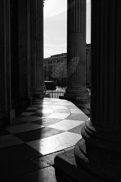


This then turns back into St. Paul's Churchyard according to the maps, and then depending on which map you look at back into Paternoster Row. However the street sign on the wall just by where I took this shot said it was St. Paul's Churchyard.
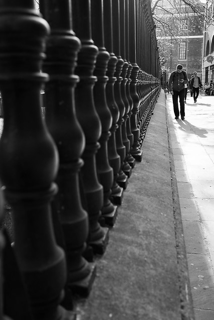

Off the row and leading heading north to Newgate Street is Queens Head Passage.
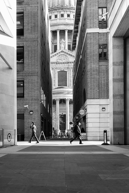

Jumping around a bit now back to Ave Maria Lane which heading north turns into Warwick Lane.
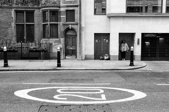

Just off of here is a little Square called Warwick Square, where I have a rare shot in colour.
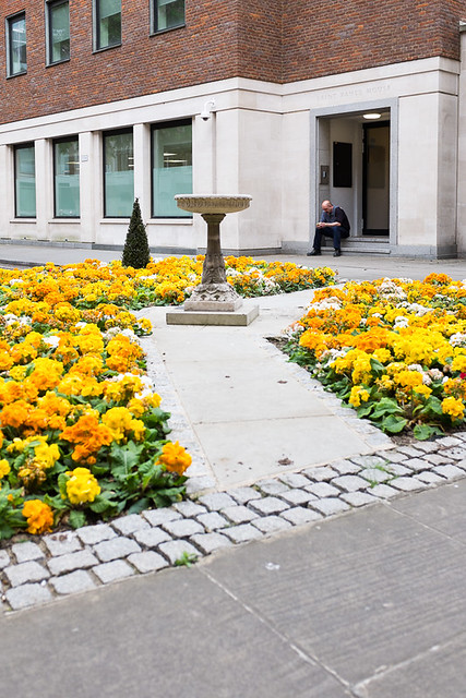

More jumping again and back to the south side of the cathedral. Peter's Hill leads you down to the Millennium  or Wobbly bridge. What appears to be just one street is actually with Peters' Hill forking to the west to become Sermon Lane. You could easily miss this uninteresting fact, as I did previously when I photographed the "hill" but I had to come back to get Sermon Lane.


At the top of the above image is another tiny little street I also hadn't noticed before. It has the great name of Knightrider Court, and if you are of a similar age to myself you will no doubt be humming a theme tune from a time when David Hasselhoff was cool not just in Germany.
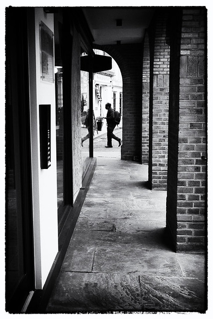

The court is no longer than what you can see in the image above. The figure above is heading down the similarly greatly names Knightrider Street.

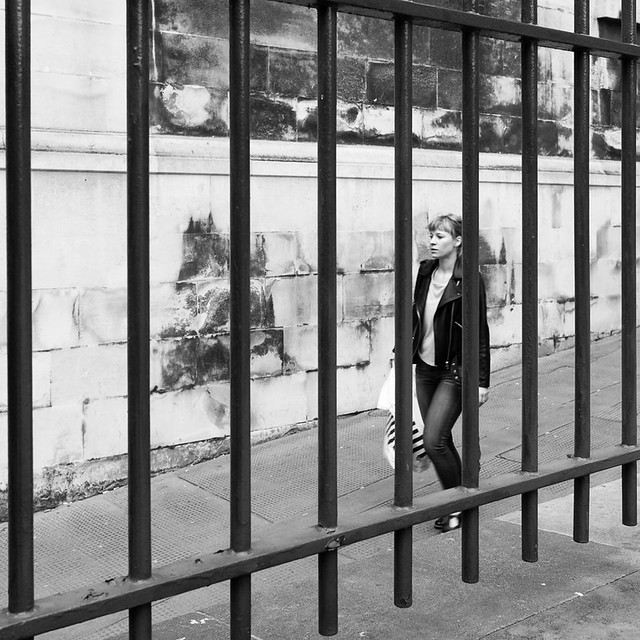
One final jump takes us to the also wonderfully named Old Fish Street Hill which is Just off Queen Victoria street and leads up to Cannon Street and St. Paul's Churchyard via Distaff Lane.

And that takes us up to the end of April, so still a fair bit behind on this blogging lark.


Thursday, 18 June 2015

Mostly around Mansion House Tube Station

This is a shortish post and as the title suggests, most of the pictures where taken near Mansion house tube station(back in April).
The first lot of shots were taken in the morning prior to work and the sun was still fairly low and casting lots of nice shadows. First up is Great St. Thomas Apostle, just next to Mansion House tube station. Until the great fire of London, the medieval church of St. Thomas the Apostle was sited here. It was originally built in 1170 and at the time was simply called the Church of St. Thomas. However a few years later cam the Church of St. Thomas a Becket in Cheapside, and there was a need to distinguish between the two.


Heading along here and away from Mansion House, the street turns into Cloak Lane and just off Cloak Lane is College Hill where I took the following shot.


Back towards the tube station and behind it lies Great Trinity Lane.


Off of here is Little Trinity Lane, which is perhaps longer rather than littler, but which presented littler photographic opportunities.


Running down the side of the tube station is Garlick Hill and towards the bottom of the hill I came to perhaps the smallest "street" that I have come across during this project. Minver place as you can see from the image below is not much longer than the length of a motorbike. I don't think it would be wide enough to park a car, but If you could, I don't think you would be able to get out of the car.


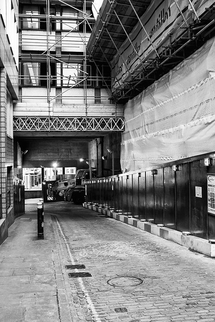
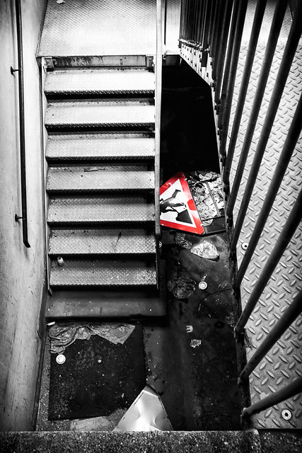
That was the last shot I took that morning, but during that week I made few attempts to photograph Albion Way, which is no where near here but just off the Rotunda by the Museum of London. I finally settled on this image looking down  a car park stairwell. I think it is only the second time I have done some "colour popping" (the first was also a picture in this project).


Wednesday, 10 June 2015

More Half Days - part 4

Is been a long long time since I blogged, but I am still going strong. A bit slower mind you due to a couple of things. Firstly work has been very busy. Secondly as I have started to get towards the end of this project, I started thinking about what I was going to do afterwards, which seemed to have the effect of slowing me down.

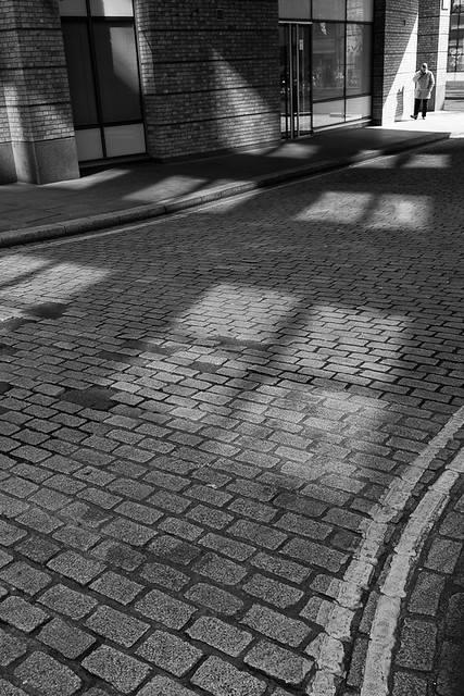
Anyway, on the with the show, and since I am blogging on photos taken in March, details may not be so clear in my head. As the title suggests ,this was another half days vacation, and I concentrated my efforts  around the Blackfriars area. First of all though I had to get there so filled in a couple of streets along the way. First up was Distaff Lane which snakes a bit between Queen Victoria Street and Cannon Street. I was attracted to the shadows and reflections of light from windows in this particular shot.


A bit further along Queen Victoria Street on the southern side is  St. Benet's Metropolitan Welsh Church which conducts services in Welsh. Can you guess what destroyed the church and who rebuilt it? Snaking around the church is St. Bennet's Hill (curious that the church has one 'n' in it and the street two) where I took this image of some road cones on the pavement.


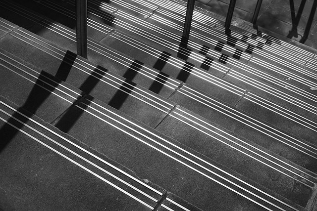
A bit further along Queen Victoria Street was White Lion Hill. It was closed to traffic as there was lots of work going on, but there would not have been much too photograph on a busy day. I took my inspiration from some steps that led down to the Thames footpath.


Continuing along Queen Victoria Street, I came to the wonderfully named Puddle Dock. Unsurprisingly it was previously a dock, and hopefully deeper than a puddle, otherwise it would not have been much use as a dock.


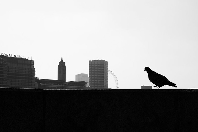
Next up was Blackfriars bridge where I spotted a giant pigeon about to trample an office block before going on a ride, King Kong style on the London Eye.


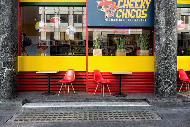
Going North, the road going across the bridge becomes New Bridge Street where I photographed Cheeky Chicos - I hope they appreciate the huge amount of web traffic I send there way :-)


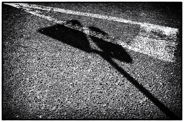
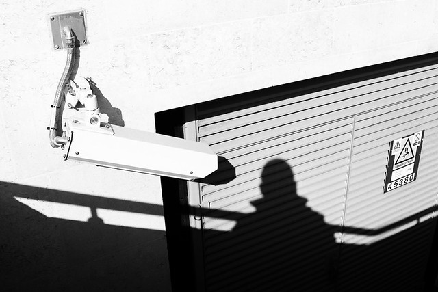
Round the side of Blackfriars station is Blackfriars Passage. Its the sort of street that nobody other than black cab drivers with "The Knowledge" know about or use. There is not really anything there, but I spent a few minutes getting an image of a security camera seemingly recording my shadow,


A bit further north now to Waithman Street where it seems they are rather fond of their wall. I wonder if bicycle's are OK?


At one end of Waithman Street is Blackfriars Lane where I photographed the following image - another one where  I liked the light and shadows.


Off this lane is Playhouse Yard where I took a couple of images.


Back up Blackfriars lane and heading north it turns into Ludgate Broadway where I saw some more interesting light and shadow.


Just off of here is Cobbs Court which then leads onto Priory Court.


Next up is Church Entry. Is this area stood the Dominican priory of the Blackfriars. The name Churhc Entry would indicate the usual passage between the nave and the chancel.

The final picture from this day was taken outside The Cockpit pub on Ireland Yard, and is slightly strange. Of course the answer to the question is "Yes, I saw it at Blackfriars Bridge, about to flatten an office block!".


And that takes us up to the end of March, so in my usual fashion I will show the map of my progress.


Sunday, 3 May 2015

More half days - Part 2

My last post was some time ago, as I have been extremely busy with work and other stuff. But this is a continuation from my last post, where I took a half days vacation.

The first image below was taken on Ludgate Hill and was of a gentleman who had been attending the Afghanistan remembrance service at St. Paul's Cathedral.


The following shot was also taken at Ludgate Hill.


Walking down New Bridge Street from I then stopped at Pilgrim Street


Continuing down New Bridge Street, I came to another raised street with steps leading up to it - Apothecary Street.


On the other side of New Bridge Street from here is Bridewell place.


And the last shot of the day was taken on Watergate, again just off New Bridge Street.


Thursday, 2 April 2015

More half days - Part 1

I had a few days of holiday carried over from last year which I had to use up by the end of March so took a couple of half days vacation in the afternoon to take photographs of the city. 

This post will focus on one of those half days, but first of there are a few shots from a late lunchtime walk. The first shot is from Bread Street, which is fairly close to St. Paul's and runs from Cheapside down to Queen Victoria Street. Bread St is the principal street of the Bread Street ward and the name originates from it being the main market place for selling bread in days gone by.


At the western end of Cheapside is New Change, which borders the edge of St. Paul's cathedral. The following shot was taken right on the corner with Cheapside.


The final image from this brief walk was taken on Paternoster Square.


On my two half days off I wanted to concentrate on the areas furthest away from my office that were still to be photographed - the streets on the east side of Farringdon Street from Holburn Viaduct all the way down to Blackfriars Bridge.

My starting street was the interestingly named Turnagain lane. The name apparently comes from the fact that the street did (but no longer) lead to the Fleet Rive. Bit since there was no bridge to cross, if you wished to cross, then you had to turn back round. Less interesting were the photographic opportunities and I came away with a rather disappointing image.


The next street on the east side of Farringdon Street (heading South) is Newcastle Close.


Next up was Bear Alley, a dreary looking dead end of a street. The name would seem to come from the the Bear Inn once located here and the one popular sport of bear bating.


I then came to another dreary looking dead end, Old Fleet Lane. Leading from the lane at the side of an office block where some steps that are the start of Fleet Place. It could be questioned which street this image counts towards since the steps of Fleet Place could be considered as the main subject matter, but the image was taken whilst standing on Old Fleet Lane and the foreground is also on the lane. However it's my project and my rules.


The steps are definitely part of Fleet Place and the following image was taken from the bottom of the steps looking up. It was quite a busy passage and I had to wait about 10-15 minutes to get the shot I was looking for.


 Next was Old Seacoal Lane, a challenging place to get a decent picture.and I don't like this particular image. The street gets its name from the time when barges transporting coal from the Thames and along the river Fleet would unload here. Oliver Golsmith the novelist, playwright and poet once resided here.


The road leads round to Limeburner Lane, which was only constructed in the 1990's. 


At the end of this lane and parallel to it is St. George's Court, whose existence seems only to serve an underground car park.
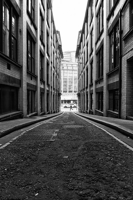

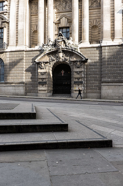
At the same end of the lane is Old Bailey, the location of the Central Criminal Court of England and Wales. The original medeival court stood from at least 1585. It was destroyed in the Great Fire of London and rebuilt in 1674, with several re-buildings since. The image below shows the main entrance to the courts.


Close by at the top end of Old Bailey are  Bishop's Court and Green Arbour Court. I covered a couple of more streets on this day but will leave those for the next post.