Tuesday, 11 August 2015

Friday's Fleety Friar

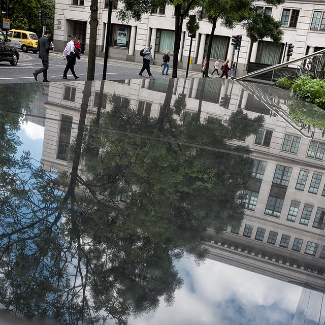
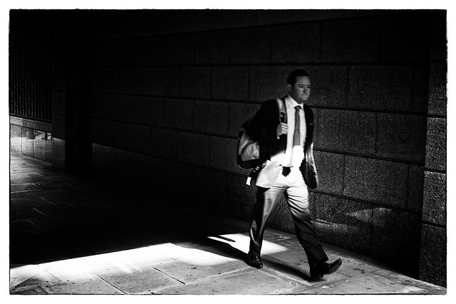
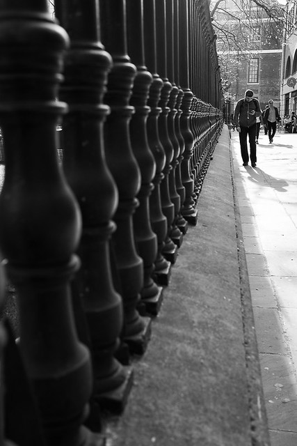
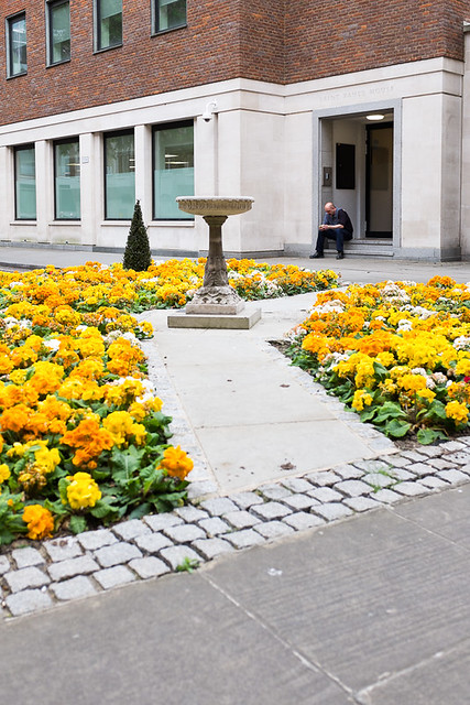
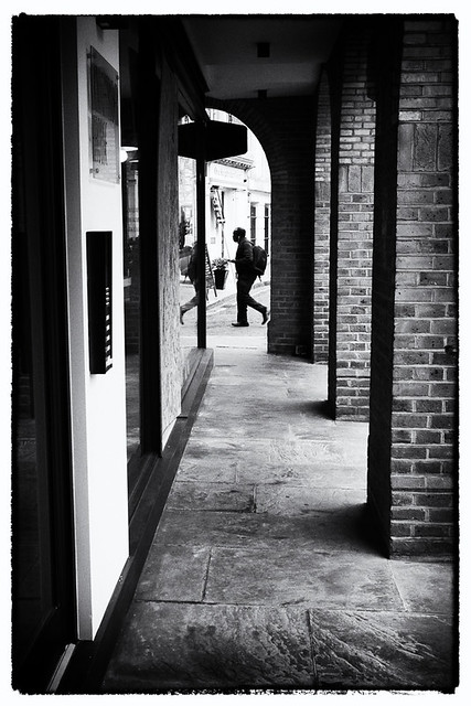
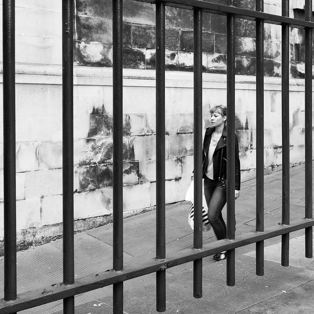
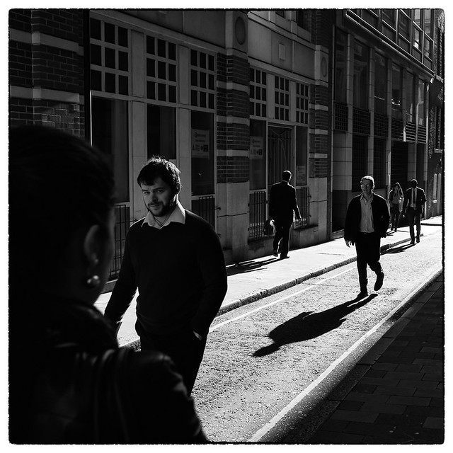
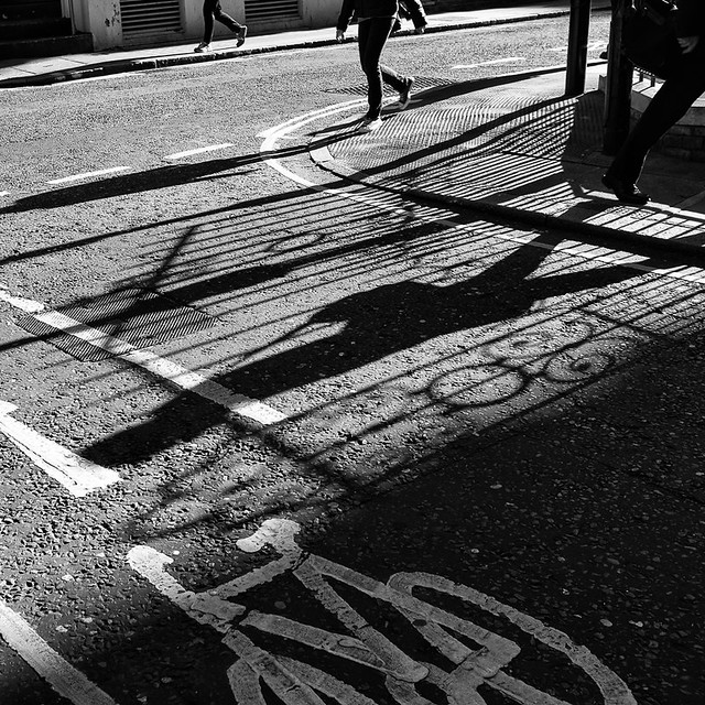
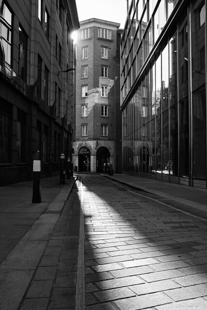
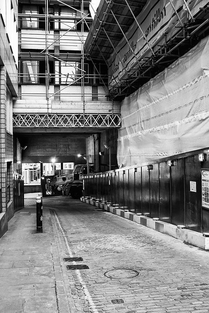
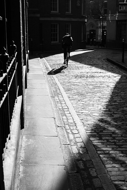
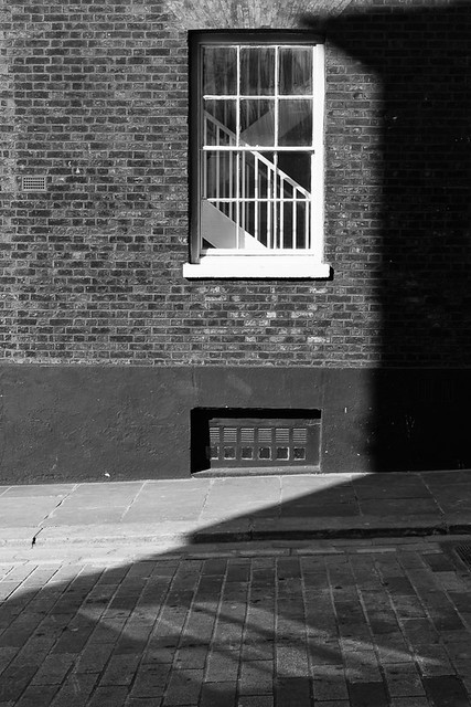
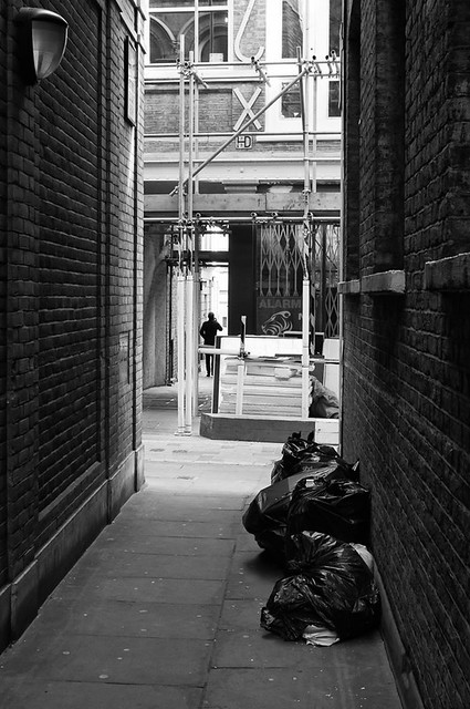
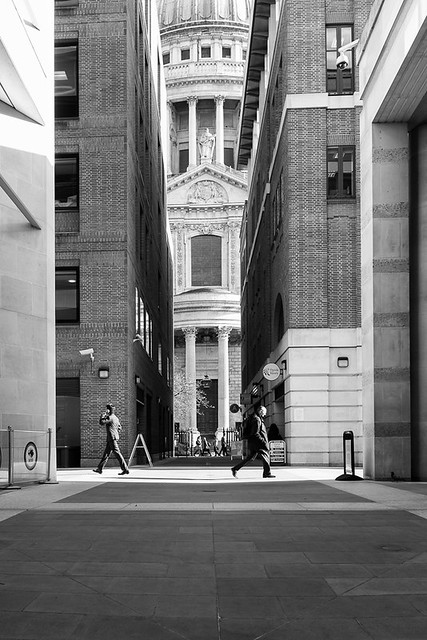
A complete lack of imagination sees me combine three street names into a blog title. These images are from one particular evening after work, all of which are in the vicinity of St. Paul's. The first street I photographed was Friday Street, which is just off Cannon Street to he west of the Cathedral. It is a street that I had walked down a few times without being inspired enough to take a photo, but this time I got something.
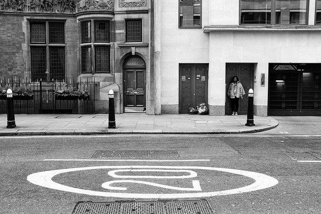

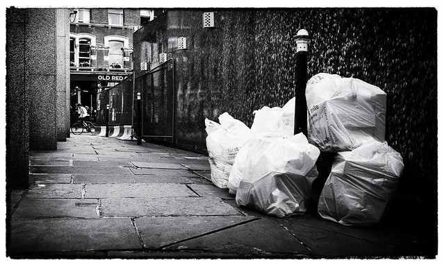
Next was Addle Hill which is not very hilly and not very interesting either although at the end I found a sign stating "No waste to be left in this area at any time" beneath which there was a lot of "waste".


From here there is the wonderfully named Wardrobe Terrace a small passageway that leads down to Queen Victoria Street. According to the londonist the name does refer to a wardrobe - the "Great Wardrobe" was responsible for kings garments and moved to this spot in 1361. The passageway runs down side of the church "St. Andrew by the Wardrobe".


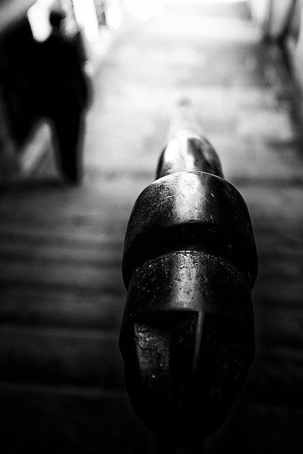
Close by and just off Cater Lane is Friar Street.


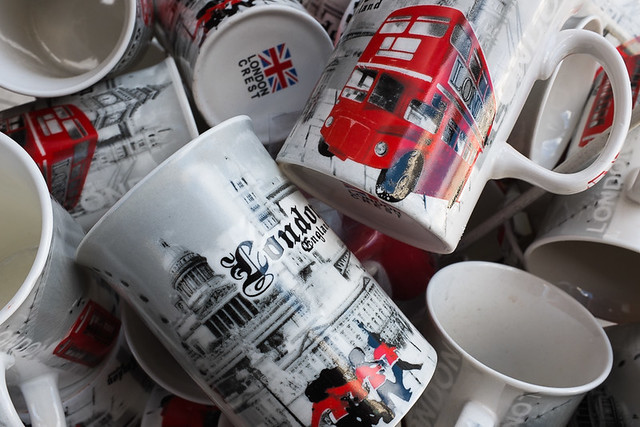
Back up towards St. Paul's and just off Ludgate Hill is Creed Lane. The following shot was taken outside a typical souvenir shot aimed at the tourists.


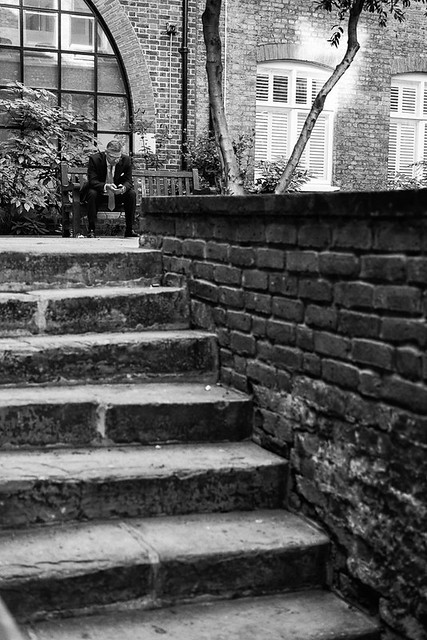
Almost opposite here is Stationers Hall Court, where the worshipful company of Stationers and newspaper makers are located. The shot below was taken in the alley of the same name that leads to the courtyard.


Next up is Warwick Passage, which leads connects Warwick Square (of Warwick Lane) to the Old Bailey and which goes right beneath the famous courts. I had previously come across this passage from the square but fond the gate locked. This time I came across the passage from the Old Bailey and entrance was not prohibited.


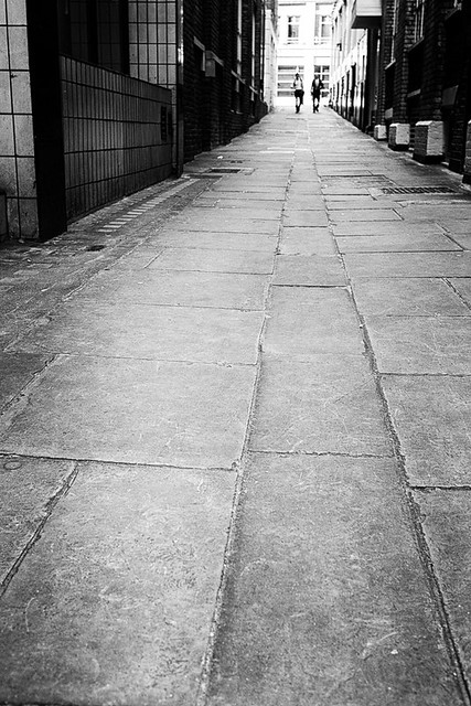
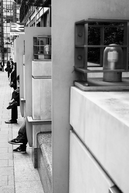
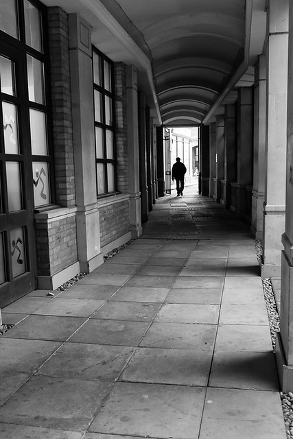
My final shot of the evening was of Fleet Passage and taken along the side of the City Thameslink station.


This was also the last image taken in May, so it 's time to show the updated map.


Thursday, 23 July 2015

Catching up..again

Its been a few weeks since I posted and I'm quite a bit behind, so lets get on with it.

This post features covers quite a wide area, but mostly between Monument and Mansion House tube stations and south of these to the river. We are going to jump around a bit though, due to fact that many areas have a few streets dotted around that I still need to photograph.

First up are a couple of street just north near Monument Station. Talbot Court is notably only really for The ship pub, an proper old fashioned pub that existed before the great fire of London, but was destroyed and rebuilt after the fire.


Close by is St. Benet's Place a short alley with only a gym and some offices. I had walked past here many times wondering how to photograph it. I finally got a shot, but not a very good one.


Just east of West of Mansion House is Huggin Hill, a narrow alley running from Queen Victoria Street down to Upper Thames Street. A large portion of it was under cover due to construction work, which limited options somewhat.


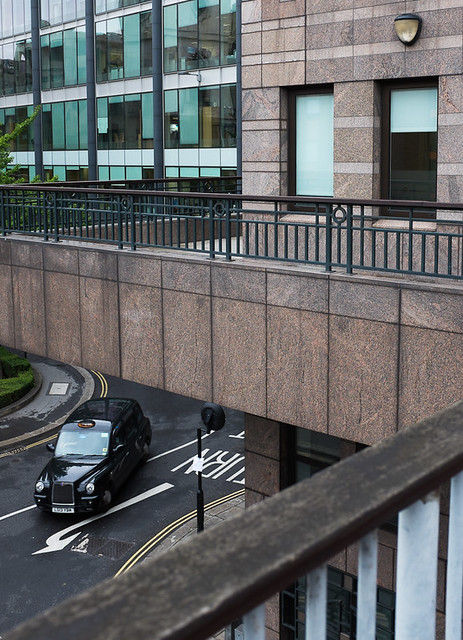
A bit further along Queen Victoria Street is Lambeth Hill which snakes down towards Castle Baynard Stretet and Upper Thames Street. This shot was taken from a footbridge looking down onto the bottom of the "hill".


Jumping back over the other side of Cannon Street station now and in between Cannon Street and Upper Thames Street - Laurence Pountney Hill.


Close by and also off Cannon Street is Bush Lane of which there isn't really much to say or photograph.


The other (west) side of Cannon Street now, and to Cloak Lane. This street is named after the Latin word 'cloaca' which basically means sewer or drain, so I will leave it for you to imagine what this street may have been like in days gone by.


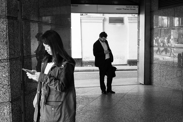
Runing down the side of Mansion House Station is Garlick Hill. At the bottom of Garlick Hill is St. James Garlickhythe church. As  stated in that link, the word Garlickhythe  refers to a landing place or "hythe" near where garlic was sold in medieval times. Fascinating. The shot below was taken at the top of the hill at the entrance to the tube station.


Crossing upper Thames street now towards the river is Allhallows Lane, another street that I had been down several times but was lacking in any inspiration. there is not a lot down here really, but of notee is a bar called the The Loose Cannon which is in a grade 2 listed building below the Cannon Bridge.


Walking along the river and under Cannon Street, the Thames footpath turns into Walbrook Wharf. The wharf is operational and freight is loaded onto barges here, at which times this section of the footpath is closed whilst the freight is carried over the pathway.


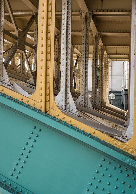
I have commented in a previous blog post about how the Thames footpath changes name frequently and rather annoying. Just along from here it turns into Three Cranes Walk. The picture below is the underside of Southwark Bridge.


On the other side of the bridge the footpath changes name again, this time to Three Barrels Walk.


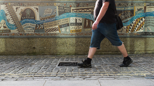
The footpath then turns away from the river, but changes name again to Queenhithe. Queenhithe is small and very old ward of the city, the name of which derives from the "Queen's' Dock". The dock in question still exists but is no longer in use, but has been designated a Scheduled Ancient Monument. Running along the path is a 30m long mosaic which depicts the history and people that built and lived in the area. Part of the mosiac can be seen in the final image of this post below.


Sunday, 5 July 2015

A little bit more of St. Paul's and elsewhere

We are now back in May, so moving on, but not really catching up. I have a few streets left around the St. Paul's area to start off with. First up is Panyer Alley. This shot was taken standing on Panyer Alley, but probably really shows Paternoster Row. Something interesting on Panyer Alley that I didn't spot though is a stone carving of a boy on a panyer, which is a bread basket. For some more information head over to Uncovering London and Hidden London


At the other side of Paternoster Square is Rose Street and this shot was taken from the end where it meets Newgate Street.


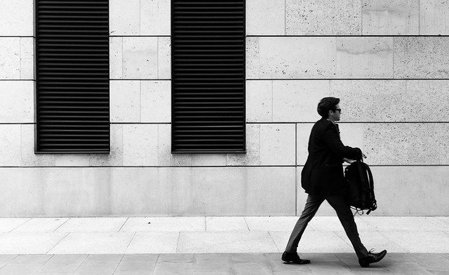
Just off Rose Street is White Hart Street, which does not have a lot of interest. The best I could do was to frame these two black vents (?) and wait for someone to walk past in the right position.


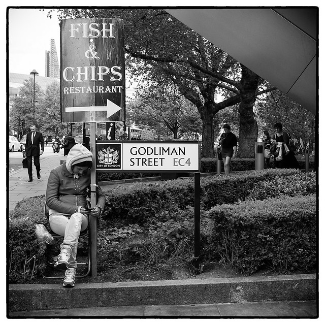
Now to the southern side of the Cathedral, and to someone else advertising the same fish and chip restaurant as featured in a previous blog. This time it is a different but equally bored person (wouldn't you be ? ) on  a different street, this time Godliman Street.


A bit further along St. Paul's Churchyard and on the southern side is Old Change Court. There is not much here really other than a cocktail bar, but I manged to get a shot I was happy with.


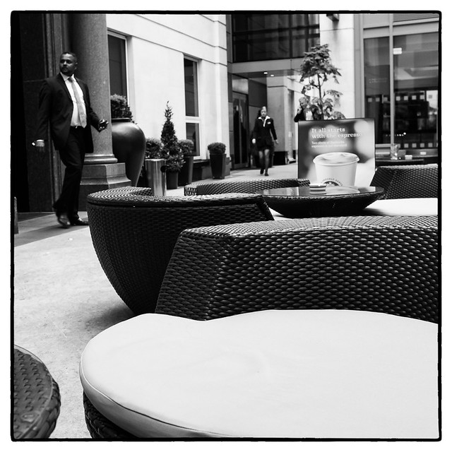
Carter Lane adjoins Old Change Court and runs Parallel to St. Paul's Churchyard to the Blackfriars area. Running between Carter Street an Knightrider Street is an unusual alley called New Bell Yard. Its at the back of  the (five star) Grange St. Paul's hotel and there is an entrance to the hotel, where they have some outside seating. The alley is not much longer than what can be seen in the image, so quite a bit of it is taken up by the hotel.


Lastly I am heading off somewhere completely different - to Hayne Street near Smithfield's market. Since I started this project there has been a building site next to this narrow alley with boards on one side and just a hairdressers on the other. Many times I have walked by looking for inspiration, and I didn't find any this time either, but came away with a usable image, of sorts.


Monday, 29 June 2015

Around St. Paul's Part One

Of all Sir Christopher Wren's churches. St. Paul's Cathedral is the most famous, and one of the most famous in the world. No one needs me a photo from me to know what it looks like, so I haven't taken one. But I do have images of all the surrounding streets.

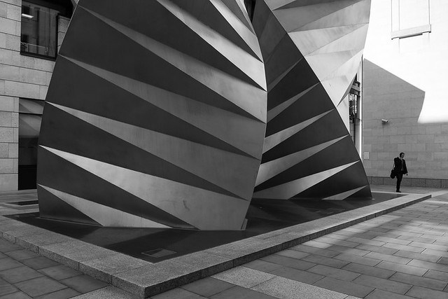
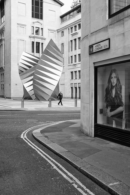
The following two images are on an unmarked lane/street just off Paternoster square, so I assume it to be part of the square. Having photographed the square a couple of months ago I could have simply moved onto the next street, but you can see why I didn't. The two sculptures are actually air conditioning cooling vents, and amazing ones at that.


And then I took another image of the sculpture from Amen Corner.


The road going from left to Right in the above picture is Ave Maria Lane, of which there is not too much to talk about, other than the sculptures.


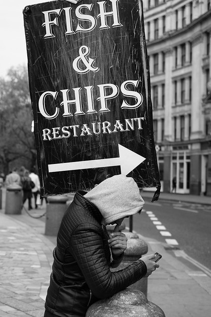
At this southern end of the lane is Ludgate Hill to the West and St. Paul's Churchyard to the east, which goes straight past the main entrance to the Cathedral. Of course the obvious thing to do here was to photograph someone holding up a big advertising board for a fish and chip restaurant. I have no idea what the fish and chips are like, but just follow the arrow to the right and you will find the restaurant on Carter Lane.


Just off Paternoster Square and going around the north side of the cathedral is Paternoster Row.


This then turns back into St. Paul's Churchyard according to the maps, and then depending on which map you look at back into Paternoster Row. However the street sign on the wall just by where I took this shot said it was St. Paul's Churchyard.


Off the row and leading heading north to Newgate Street is Queens Head Passage.


Jumping around a bit now back to Ave Maria Lane which heading north turns into Warwick Lane.


Just off of here is a little Square called Warwick Square, where I have a rare shot in colour.


More jumping again and back to the south side of the cathedral. Peter's Hill leads you down to the Millennium  or Wobbly bridge. What appears to be just one street is actually with Peters' Hill forking to the west to become Sermon Lane. You could easily miss this uninteresting fact, as I did previously when I photographed the "hill" but I had to come back to get Sermon Lane.


At the top of the above image is another tiny little street I also hadn't noticed before. It has the great name of Knightrider Court, and if you are of a similar age to myself you will no doubt be humming a theme tune from a time when David Hasselhoff was cool not just in Germany.


The court is no longer than what you can see in the image above. The figure above is heading down the similarly greatly names Knightrider Street.

One final jump takes us to the also wonderfully named Old Fish Street Hill which is Just off Queen Victoria street and leads up to Cannon Street and St. Paul's Churchyard via Distaff Lane.


And that takes us up to the end of April, so still a fair bit behind on this blogging lark.


Thursday, 18 June 2015

Mostly around Mansion House Tube Station

This is a shortish post and as the title suggests, most of the pictures where taken near Mansion house tube station(back in April).
The first lot of shots were taken in the morning prior to work and the sun was still fairly low and casting lots of nice shadows. First up is Great St. Thomas Apostle, just next to Mansion House tube station. Until the great fire of London, the medieval church of St. Thomas the Apostle was sited here. It was originally built in 1170 and at the time was simply called the Church of St. Thomas. However a few years later cam the Church of St. Thomas a Becket in Cheapside, and there was a need to distinguish between the two.


Heading along here and away from Mansion House, the street turns into Cloak Lane and just off Cloak Lane is College Hill where I took the following shot.


Back towards the tube station and behind it lies Great Trinity Lane.


Off of here is Little Trinity Lane, which is perhaps longer rather than littler, but which presented littler photographic opportunities.


Running down the side of the tube station is Garlick Hill and towards the bottom of the hill I came to perhaps the smallest "street" that I have come across during this project. Minver place as you can see from the image below is not much longer than the length of a motorbike. I don't think it would be wide enough to park a car, but If you could, I don't think you would be able to get out of the car.


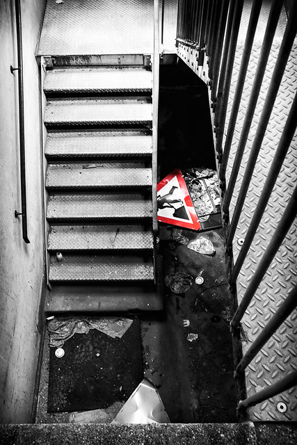
That was the last shot I took that morning, but during that week I made few attempts to photograph Albion Way, which is no where near here but just off the Rotunda by the Museum of London. I finally settled on this image looking down  a car park stairwell. I think it is only the second time I have done some "colour popping" (the first was also a picture in this project).


Wednesday, 10 June 2015

More Half Days - part 4

Is been a long long time since I blogged, but I am still going strong. A bit slower mind you due to a couple of things. Firstly work has been very busy. Secondly as I have started to get towards the end of this project, I started thinking about what I was going to do afterwards, which seemed to have the effect of slowing me down.

Anyway, on the with the show, and since I am blogging on photos taken in March, details may not be so clear in my head. As the title suggests ,this was another half days vacation, and I concentrated my efforts  around the Blackfriars area. First of all though I had to get there so filled in a couple of streets along the way. First up was Distaff Lane which snakes a bit between Queen Victoria Street and Cannon Street. I was attracted to the shadows and reflections of light from windows in this particular shot.


A bit further along Queen Victoria Street on the southern side is  St. Benet's Metropolitan Welsh Church which conducts services in Welsh. Can you guess what destroyed the church and who rebuilt it? Snaking around the church is St. Bennet's Hill (curious that the church has one 'n' in it and the street two) where I took this image of some road cones on the pavement.


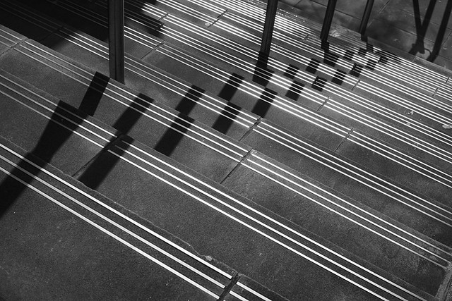
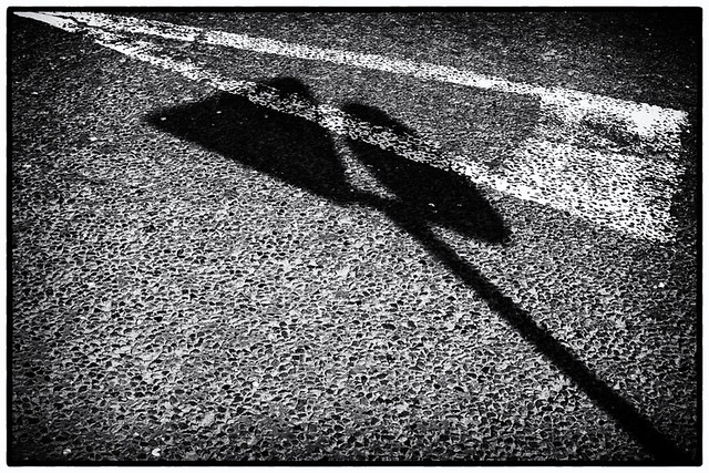
A bit further along Queen Victoria Street was White Lion Hill. It was closed to traffic as there was lots of work going on, but there would not have been much too photograph on a busy day. I took my inspiration from some steps that led down to the Thames footpath.


Continuing along Queen Victoria Street, I came to the wonderfully named Puddle Dock. Unsurprisingly it was previously a dock, and hopefully deeper than a puddle, otherwise it would not have been much use as a dock.


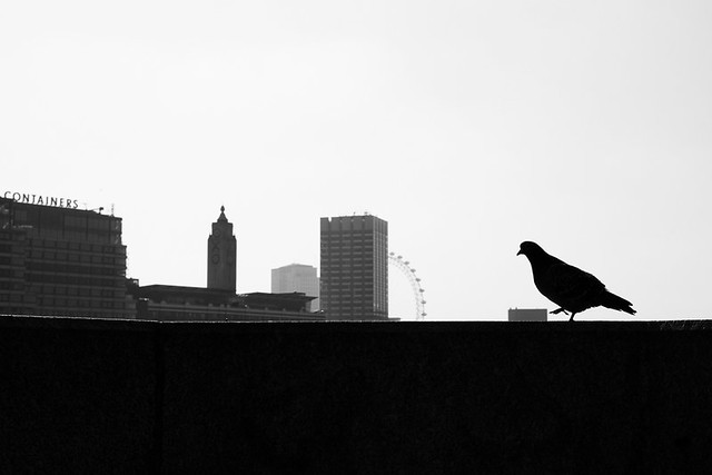
Next up was Blackfriars bridge where I spotted a giant pigeon about to trample an office block before going on a ride, King Kong style on the London Eye.


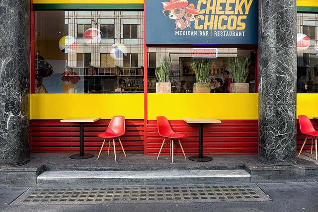
Going North, the road going across the bridge becomes New Bridge Street where I photographed Cheeky Chicos - I hope they appreciate the huge amount of web traffic I send there way :-)


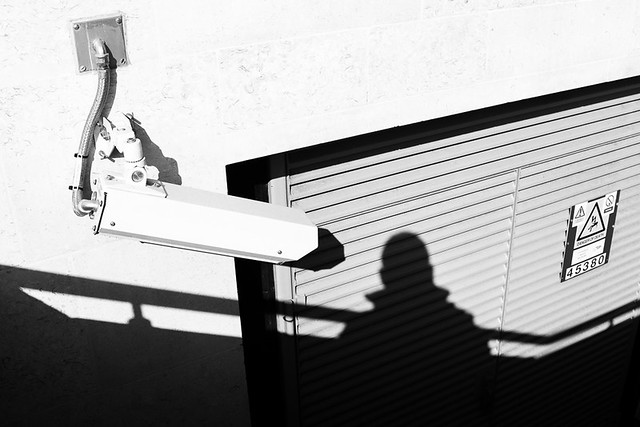
Round the side of Blackfriars station is Blackfriars Passage. Its the sort of street that nobody other than black cab drivers with "The Knowledge" know about or use. There is not really anything there, but I spent a few minutes getting an image of a security camera seemingly recording my shadow,


A bit further north now to Waithman Street where it seems they are rather fond of their wall. I wonder if bicycle's are OK?


At one end of Waithman Street is Blackfriars Lane where I photographed the following image - another one where  I liked the light and shadows.


Off this lane is Playhouse Yard where I took a couple of images.


Back up Blackfriars lane and heading north it turns into Ludgate Broadway where I saw some more interesting light and shadow.


Just off of here is Cobbs Court which then leads onto Priory Court.


Next up is Church Entry. Is this area stood the Dominican priory of the Blackfriars. The name Churhc Entry would indicate the usual passage between the nave and the chancel.

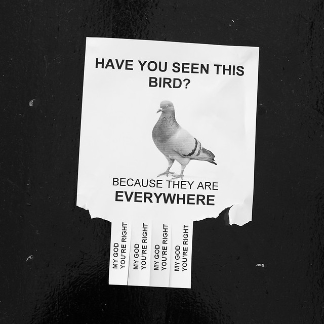
The final picture from this day was taken outside The Cockpit pub on Ireland Yard, and is slightly strange. Of course the answer to the question is "Yes, I saw it at Blackfriars Bridge, about to flatten an office block!".


And that takes us up to the end of March, so in my usual fashion I will show the map of my progress.