I have a few pockets of areas where I have a few remaining streets to shoot. One of these is behind Barbican, around St. Bart's hospital, and I tried to complete to this area one morning before work.
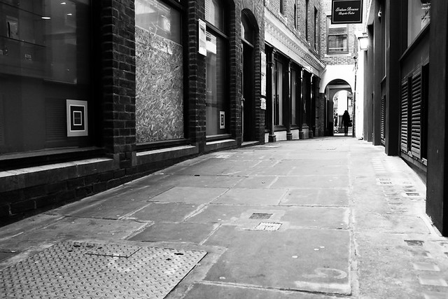
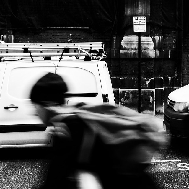
The first street I shot was Bartholomew Close which is a longish U shaped road. I had been around here a couple of times and was not really inspired. On this occasion I managed a couple of shots. The first is just a bike rack and a puddle which really doesn't sound very exciting, but I'm really pleased with this shot. I think it is a good example of how my eye for detail has improved over the course of this project and I think this is partly down to having to take a picture of every single street - finding something worthy of raising the camera is not always easy. I don't always get a good image or one that I am overly happy with, but I think doing that on every street is nigh on impossible.

An example of where my eye for detail was not quite so good was just around the corner on Halfmoon Court. There was not a lot to shoot here, but I decided to take the image below of some signs outside a car park. I think the main thing that intrigued me here was the sign saying "Dry Falling main car park" which sounds a bit ominous and like it may not be a great place to stand. I had no idea what it meant, but couldn't help looking upwards. On googling the term now I think it may have something to do with fire protection equipment.

One other street I had previously missed out is Smithfield Street, which as the name suggests, is close to Smithfield market.
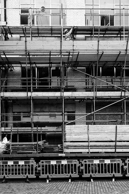
That was all of I manged to shoot on that particular morning. There are two streets left to photograph in that area, both of which are partly closed off due to construction work and which I have so far struggled for inspiration.
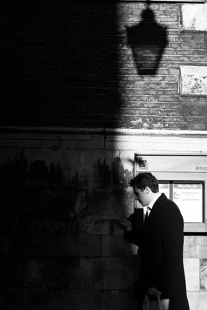
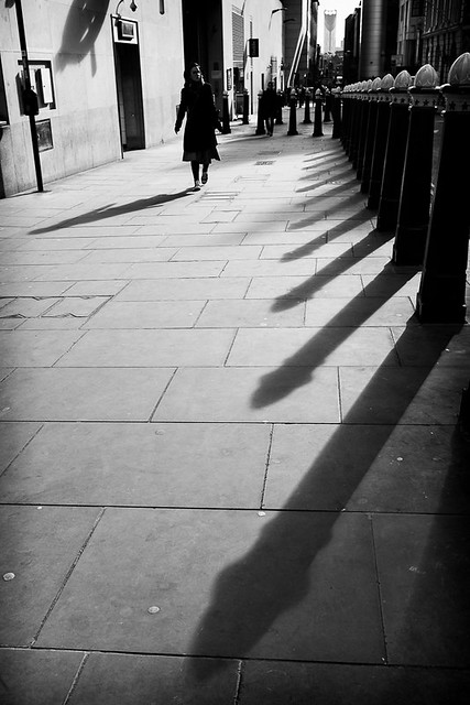
A couple of days later I wandered around the Cannon Street Area for a bit. The are a couple of streets here named after a Laurence Pountney, presumably they are named after the St. Laurence Pountney church. This church is no longer, and was destroyed during the great fire of London. However an eye witness claims that the church fire started from with inside, implying arson. Laurence Pountney Lane is one of the couple of street I photographed on this day, where I shot some shadows from a tree.

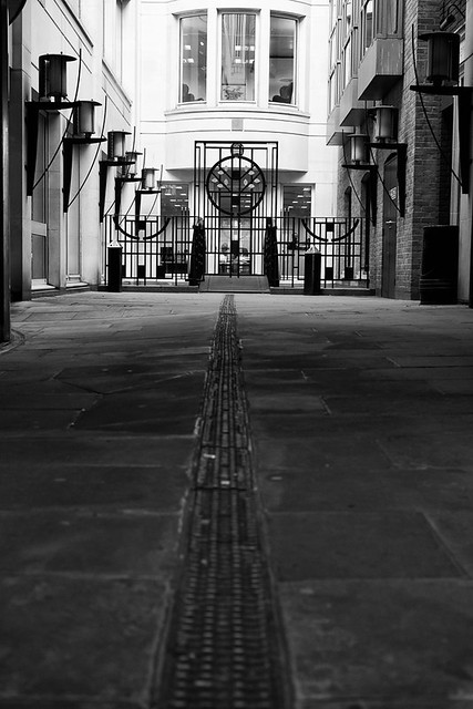
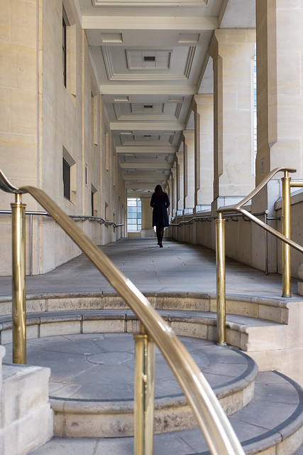
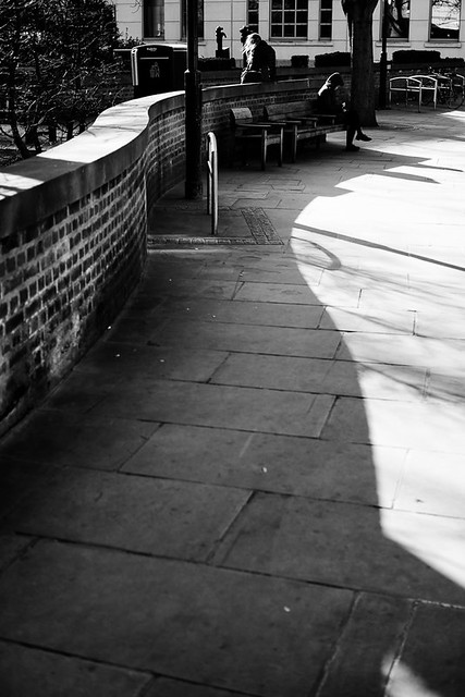
From here a little alley leads to Laurence Pountney Hill (still to photograph) and Suffolk Lane. The shot below was taken at the side of Prudential's headquarters. The footpath leads to a bridge that crosses Upper Thames Street.
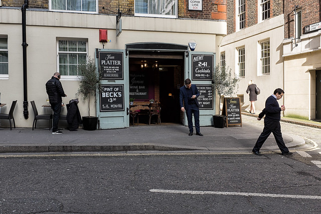
Also close by is Gophir Lane.
On the other side of Cannon Street Station is Dowgate Hill, named after the Dowgate Ward of the city.
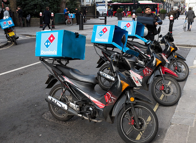
A bit further along Cannon Street, I came to Queen Street which I had already photographed previously. The image below is not particularly good, but I liked the fact that the Dominos delivery motorbikes where all in a line leaning over, a bit like dominoes.
Walking back down Dowgate Hill, and crossing Upper Thames Street, leads onto Cousin Lane.
I then headed back up the hill a little and turned onto College Street.
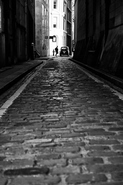
College Street then turns into Skinners Lane, where I took my favorite image of the day.
On my way back to the office I took a minor detour to Cheapside to photograph Crown Court. This was a little courtyard that I had previously missed and only noticed when filling in my map.