Thursday 27 November 2014

Between Lombard and King William Streets

The above mentioned streets form a triangle area from near Monument towards the Bank Of England and across to Gracechurch Street. I covered most of the streets in this visit to the area, but not all, so will be back.

The first street that I photographed was more of an undercover alley, Plough Court, where apparently the poet Alexandra Pope was born in 1688.


At the far end (as seen in the picture) is Lombard Street, and the following shot was taken outside the the St Edmund, King and Martyr church, yet another built by Sir Christopher Wren.


Almost opposite and heading back towards King William Street, is Clements Lane.

Further down Clements Lane lies Lombard Court which leads to Gracechurch Street.


A bit further on and you come to the St, Clements Church, which claims (as the does a church by the same name in Westminster) to be that referenced in the nursery rhyme "Oranges and Lemon". Down the side of the Church is St. Clements Court, previously known as Church Court. Here there is a very small churchyard with a few tombs. According to this wiki page, the poet John Milton was reconciled with his wife here in 1645. There were also a lot of what looked like old displays from a perfume store/department -perhaps from the House of Fraser round the corner.


The final couple of pictures are not within the the same areas as the above pictures, but taken on the same day. The first is of Finch Lane and was taken on my way back to the office from taking the above shot. It lies between Cornhill and Threadneedle street.

The second is of Gutter Lane, which near St. Paul's and just off Eastcheap. It had been taken in the morning on the way to work and probably should have been in the previous post. Appropriately, the shot was taken from within the gutter.


Monday 24 November 2014

More around Smithfield

Another quick morning shoot before work saw me start of at Fenchurch Street tube and tackle some of the streets south of the market. First up was Hosier Lane where I saw a more traditional cafe that will no doubt get turned into a Starbucks or something similar in a few years time.


This picture was taken on the junction with Giltspur Street and a little further along Giltspur Street on the junction with Cock Lane is where the Great fire of London stopped burning. It is commemorated by the Golden Boy of Pye Corner statue, but I photographed some roadworks instead.


From here I walked down to Holburn Viaduct where I was attracted to the steel girders in the picture below.


Off of the viaduct and leading back up to Smithfield is Snow Hill. I struggled for inspiration here for a bit, and was a bit conscious that I might look a bit suspicious walking up and down with my camera in front of the City of London police station;  I finally settled on a image of Boris' Bikes.


I then headed off to Greyfriars passage. This is the location of the Christ Church Greyfriars which was destroyed by the Great fire, rebuilt by Wren, and then mostly destroyed again in second world war. The ruins are now a public garden. Next door is the Bank of America Merrill Lynch, formed after the acquisition of the latter by the former in the wake of the credit crunch.


By now it was time to head to the office and I had time for one more street, Gutter Lane, where I appropriately took a shot from the gutter.


Monday 10 November 2014

A Shot in the dark

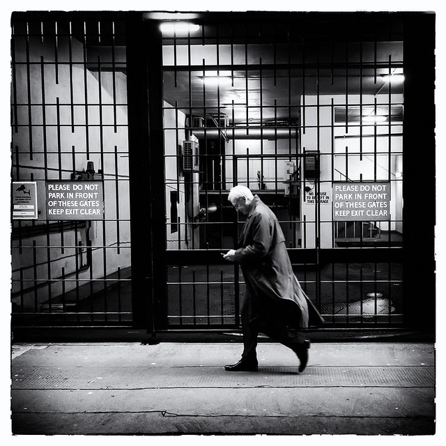
The clocks going back an hour has made things a little more difficult. since it is dark before I finish work. Some locations lend themselves to (hand held) night photography, but others are impossible. This post has some images from my first shoot in the evening since the clocks changed.

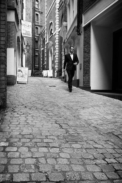
The first image is from Change Alley, which is one of several alleys between Cornhill and Lombard Street. At first glance on the map it would seem to be at least 3 different streets, which makes up for some of the many streets that I have found to not be on the maps at all.


Parallel to here is Pope's Head Alley, named after the Pope's Head Tavern which stood here from  1465 till at least the 18th Century. During the reformation the inn was renamed the Bishops Head, before changing its name back again.


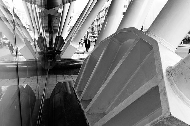
Down past the Bank of England, and at No. 1 Poultry, there is an alley connecting Poultry with Queen Victoria Street called Bucklersbury Passage. Unlike the passage there are some interesting facts about No.1 Poultry; It features a rooftop restaurant and garden which can be seen in the opening ceremony of the London Olympics in 2012 when James Bond escorts the queen from Buckingham Palace to the Ceremony by helicopter. It also seems to be a popular place to commit suicide with four fatalities in recent years.


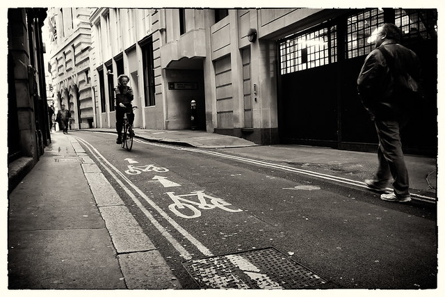
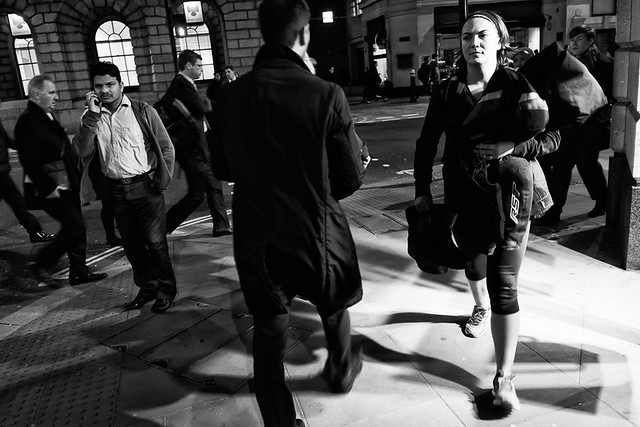
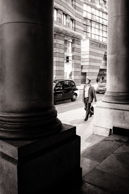
The last shot from this particular evening is one of those that presented a dilemma as to which street it belongs. It was taken on the junction of Queen Street and Cheapside; I was standing on Queen Street but the image shows more of Cheapside. Not quite realising at the time how long Queen Street was, I made the executive decision that there were possibly more photographic opportunities on Cheapside, and therefore I would count this as Queen Street.


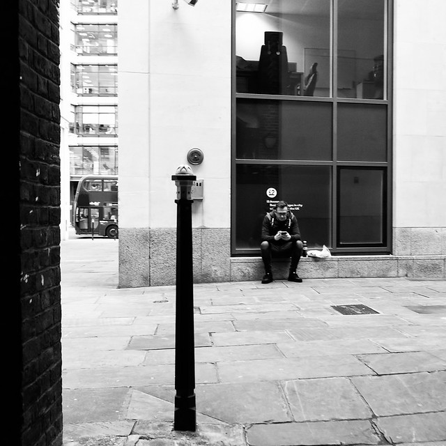
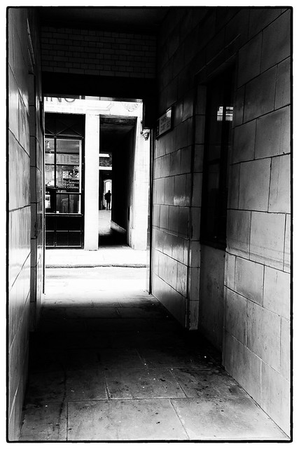
A couple of days later I left early for work, got the tube to Bank and tackled a few more of the alleys and streets off Cornhill. First was Cowper's Court of which there is not too much to say. 


Turning left here and a bit further along Birchin Lane is Castle Court a lovely little alley, where at number 3 stands the George and Vulture Inn; Chaucer and Dick Whittington are said to have frequented, and Charles Dickens may well have done as it is referred to in the Pickwick Papers.


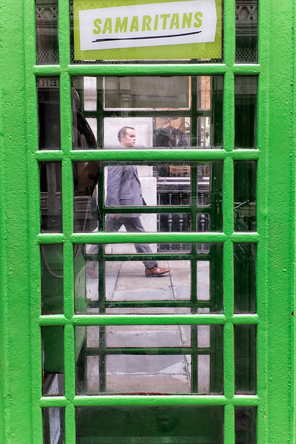
One of the streets connecting Cornhill with Threadneedle Street is Royal Exchange Buildings. It is a pedestrianised street at the rear of the Royal Exchange. The image below shows one of the twenty or so BT telephone boxes from around the country that were painted green in 2013 to commemorate sixty years since the Samaritans were formed.


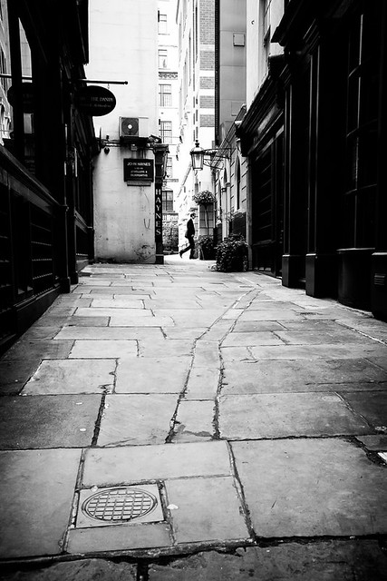
A bit further up Cornhill is Sun Court, a small courtyard, most of which fits in the image below.


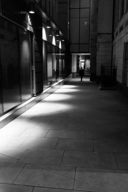
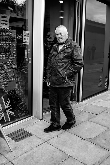
On another evening after work I managed to photograph a few more streets before heading home. The image below is of Poultry, which later turns into the much longer Cheapside. The image shows No.1 Poultry in the background mentioned earlier in this post.


A bit further along from here and on the right is Old Jewry, named after Jewish immigrants who populated the area after encouragement from William the Conqueror.


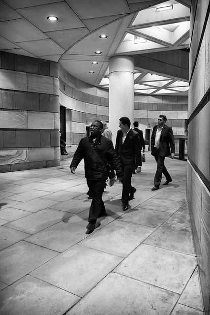
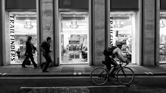
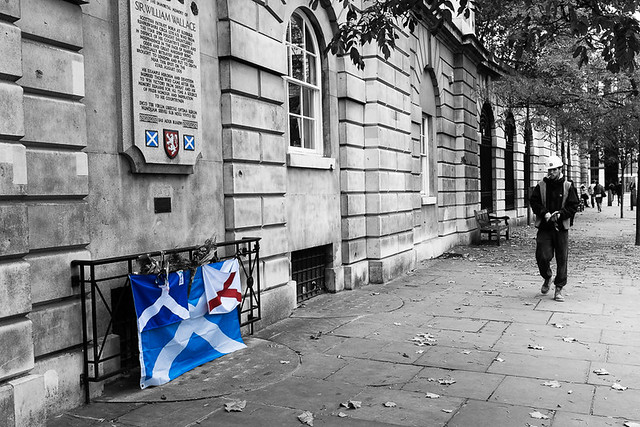
As mentioned above Poultry turns into Cheapside, a much longer street. The image below was take outside some shops fairly close to St. Paul's Cathedral.


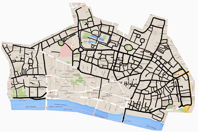
And that is my final image of this post and also of October, which means I am almost  (but not quite) up to date with my blogging. Below is the updated progress map.


More Randomness

As the title suggest these images will come from various locations from a few different outings, First up is St. Mary at Hill. The street is named after the church situated here, which was founded in the 12th Century.


Parallel to St. Mary at Hill heading towards Monument is Lovat Lane.


Parallel to Lovat Lane and connected by Botalph Alley is Botalph Lane.


Moving on and back towards the area between Lombard Street and Threadneedle Street, the picture below is of George Yard.  I don't know what the things are in the middle of the benches and flower beds but they are quite interesting.


From here you can walk through St. Michaels Alley and onto Cornhill. Almost opposite here is Newmans Court.


Moving on again to Bishopsgate and the following is an image of St. Helen's Place. Previously I worked on St. Mary Axe  (opposite the Gherkin) and would enter work via St. Helen's place. Since I started this project it  has been under lots of scaffolding and given its close proximity to where I work now, I decided to wait till a later date to photograph it. Currently my company's office at Tower 42 is being refit, and we have temporarily moved to a floor higher up the building. The views are great, and the picture below shows the Gherkin and St.Helen's place in the foreground. The picture was taken from the window very close to my desk.


Off again, and a few last images from around Smithfields market taken one morning before work. The first is of West Poultry Avenue, which is blocked off to traffic with large blocks of concrete and does not present too many photographic opportunities.


One one side of the market is West Smithfield, which loops round in circle at one end, like a letter p or d. Nearby many executions occurred in days gone by, including Wat Tyler, who led the peasants revolt, and William Wallace, commemorated by the plaque on the wall below. Curiously on the white bit on the top right corner of the Scottish flag states "Peace One Day" as if there was some ongoing conflict.


Just off of the West Smithfield loop is Cloth Fair, where in medieval times merchants met to buy and sell cloth during the Bartholomew Fair. The street is notable for the church of St. Bartholomew the Great, which was founded in the 12th Century and survived the great fire, along with the two oldest residential buildings in London.


There are several side alleys running off of Cloth Fair, one of which is Rising Sun Court.


Wednesday 5 November 2014

The last of the Tower (almost)

The post comprises of photos taken over two separate weeks- work has been busy, and I had a cold so opportunities to take pictures were limited. I did however manage to finish off the last few streets close to the Tower of London; the tower itself is not within the city boundary so although I have visited to see the poppies I have not photographed them for this project.

Two particular streets caused me a lot of bother. I had been to them four or five times whilst photographing surrounding streets, but not could not identify anything remotely worth shooting. On my recent weekend visit when I did some long exposure photography, I did get some ideas but had left my camera on manual focus and the shots were out of focus. So I headed back for hopefully one final visit. First to Harp Lane, which is a very short street with one unattractive building on either side and nothing else. The picture below would seem to be the entrance to the "Worshipful Company of Bakers' one of the oldest liveries in the city. However the lights were not on and there is no one at the reception on any of the occasions I visited. The lights were on round the corner though.


Harp Lane leads to a small square called Bakes Hall Court named after the company of bakers, where there is equally little to photograph. The best I could come up with was the following shot.


Just off of Lower Thames Street opposite Great Tower Street lies Tower Place, a pedestrian area in front of newish office block.


This leads to Gloucester Court which is very small and isn't really a court. Its on the city boundary and is right next to the tower which can just about be made out in the picture below.


This in turn leads to Petty Wales, which is populated mostly by tacky touristy shops. There is a however a very unusual  and small round building towards the bottom of the street which millions of people probably walk past without even noticing, as did I; I only found out when writing this post that it actually leads to a tunnel under the river, which opened in 1870. More information on it can be found here.


At the bottom of Petty Wales lies Three Quays Walk and Sugar Quay Walk. Its not really clear where one ends and the other starts. I don't recall there being any signs and there are inconsistencies in different maps.


You cannot get any further along the Thames here; access is blocked off though this could be temporary. So backtracking to Lower Thames Street and down Water Lane for my final picture of the post.